Channel & Berth Profile
Facilities & Capabilities
ContainerNO
Ro-RoNO
Liquid bulkNO
Dry bulkNO
Oil terminalNO
Break bulkYES
Dry dock—
Repairs—
Bunkering—
Rail link—
Dangerous cargo—
ISPS security—
Harbour Specifications
Water body
North Sea; North Atlantic Ocean
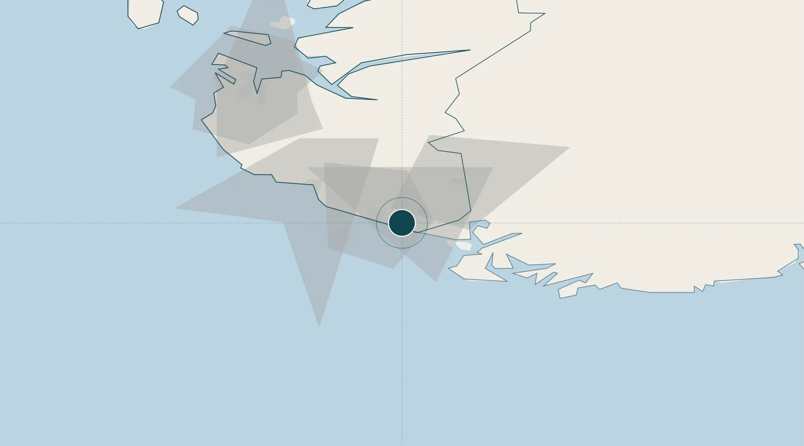
Location
Nearby Logistics Neighbours
Ports
- 1Rekefjord5 km
- 2Kirkehamn15 km
- 3Flekkefjorden20 km
- 4Egersund25 km
- 5Farsund37 km
Cities
- 1Rekefjord5 km
- 2Kirkehamn15 km
- 3Flekkefjord19 km
- 4Abelnes22 km
- 5Egersund25 km
Airports
- 1Stavanger Airport, Sola74 km
- 2Kristiansand Airport103 km
- 3Haugesund Airport, Karmøy132 km
- 4Stord Airport, Sørstokken174 km
- 5Thisted Airport198 km
Trade Zones
- 1Gothenburg Boundless Customs Warehouse330 km
- 2Jönköping Free Zone461 km
- 3Freeport of Copenhagen- Nordhavn477 km
- 4Freeport of Kiel502 km
- 5MTS Malmö Transport and Spedition508 km
DatabookThe Record of Consolidated Knowledge
Norway beyond logistics?