Large airport · Norway
Kristiansand AirportENCN
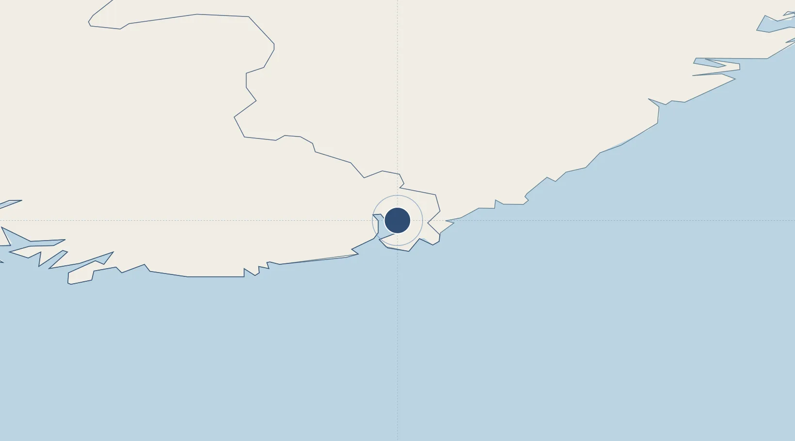
58.2042°, 8.0854°
6,677 ft
Longest runway
1
Runways
57 ft
Elevation
Runway & Layout

Radio Frequencies
ATIS
124.475 MHz
INFO
TWR
118.1 MHz
Navaids
ODR NDB Odderoy 372 kHz
SVA VOR-DME Svensheia 112.10 MHz
Runways · 1
| Runway | Dimensions | Surface | True heading | Lit |
|---|---|---|---|---|
| 03/21 | 6,677 × 148ft | Asphalt | 035° | ✓ |
Airport Specifications
IATA code
KRS
ICAO code
ENCN
Airport class
Large airport
Scheduled service
Yes
Runway surface
Asphalt
Served city
Kristiansand(Kjevik)
Location
Nearby Logistics Neighbours
Airports
- 1Thisted Airport132 km
- 2Skien Airport139 km
- 3Sindal Airport149 km
- 4Aalborg Airport162 km
- 5Notodden Airport165 km
Cities
- 1Ålefjær5 km
- 2Kristiansand9 km
- 3Lillesand17 km
- 4Øvrebø19 km
- 5Høllen21 km
Ports
- 1Kristiansand8 km
- 2Mandal42 km
- 3Arendal49 km
- 4Tvedestrand67 km
- 5Farsund77 km
Trade Zones
- 1Gothenburg Boundless Customs Warehouse227 km
- 2Jönköping Free Zone357 km
- 3Freeport of Copenhagen- Nordhavn389 km
- 4MTS Malmö Transport and Spedition419 km
- 5Freeport of Kiel449 km
DatabookThe Record of Consolidated Knowledge
Norway beyond logistics?