UN/LOCODE hub · Norway
NOEGE
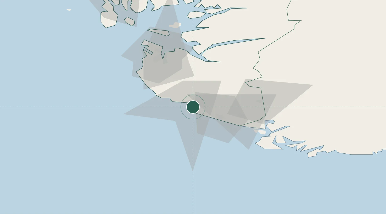
Egersund
58.4410°, 5.9832°
11,433
Population
2
Transport functions
1
Container terminals
Transport Functions
Port
Road
Hub Profile
Place type
Provincial seat
Region
Rogaland
Population
11,433
Time zone
Europe/Oslo
Elevation
4 m
Logistics facilities
2
Container terminals
1
Location
Nearby Logistics Neighbours
Ports
- 1Rekefjord21 km
- 2Jossingfjord25 km
- 3Kirkehamn39 km
- 4Flekkefjorden44 km
- 5Sandnes50 km
Airports
- 1Stavanger Airport, Sola52 km
- 2Haugesund Airport, Karmøy110 km
- 3Kristiansand Airport126 km
- 4Stord Airport, Sørstokken155 km
- 5Bergen Airport, Flesland211 km
Trade Zones
DatabookThe Record of Consolidated Knowledge
Norway beyond logistics?