Transport Functions
Port
Hub Profile
Place type
Populated place
Region
Finnmark
Population
80
Time zone
Europe/Oslo
Elevation
10 m
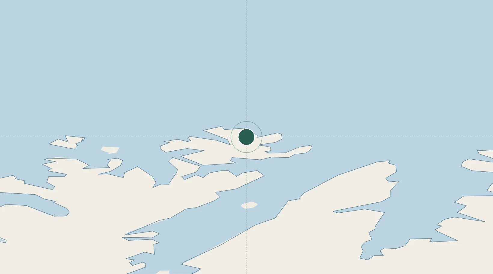
Location
Nearby Logistics Neighbours
Cities
- 1Kuvika6 km
- 2Gjesvær16 km
- 3Honningsvåg16 km
- 4Repvåg39 km
- 5Havøysund43 km
Ports
- 1Honningsvag14 km
- 2Kjollefjorden57 km
- 3Mehamnfjorden73 km
- 4Hammerfest92 km
- 5Kvalsund94 km
Airports
- 1Honningsvåg Airport, Valan12 km
- 2Mehamn Airport73 km
- 3Hammerfest Airport91 km
- 4Lakselv Airport, Banak119 km
- 5Berlevåg Airport119 km
Trade Zones
- 1Murmansk Special Economic Zone364 km
- 2Oulu Port Free Warehouse Area679 km
- 3Free Zone of Lappeenranta1123 km
- 4Port of Hamina-Kotka1183 km
- 5Turku Free Zone1196 km
DatabookThe Record of Consolidated Knowledge
Norway beyond logistics?