UN/LOCODE hub · Norway
NOKUV

Kuvika

71.0500°, 25.9000°
1
Transport functions

Transport Functions

Port
UN/LOCODE

Hub Profile

Region
20
GeoNames

Location

Location of NOKUV
Natural Earth 10m (public domain) · 20 · NOKUV · 71.05, 25.90GoogleOSMYandex

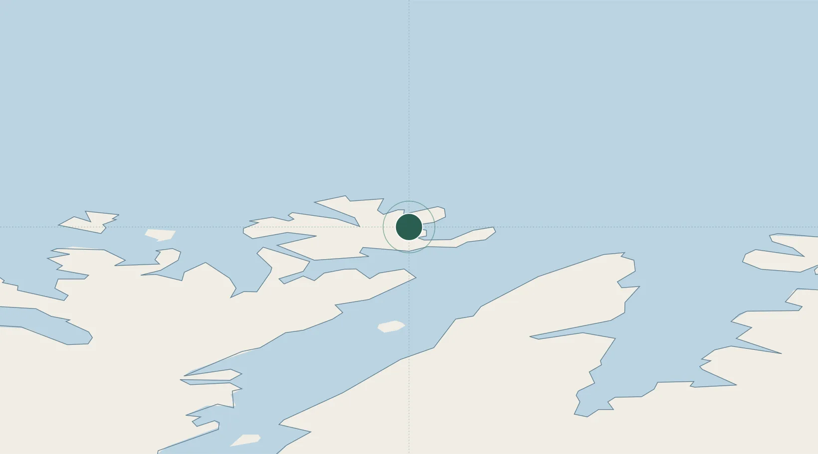
Nearby Logistics Neighbours

Cities
  1. 1Skarsvåg6 km
  2. 2Honningsvåg10 km
  3. 3Gjesvær19 km
  4. 4Repvåg34 km
  5. 5Havøysund45 km
Nearest neighbours — logibook spatial index (haversine) over the source coordinates
Ports
  1. 1Honningsvag8 km
  2. 2Kjollefjorden53 km
  3. 3Mehamnfjorden70 km
  4. 4Hammerfest92 km
  5. 5Kvalsund93 km
Nearest neighbours — logibook spatial index (haversine) over the source coordinates
Airports
  1. 1Honningsvåg Airport, Valan5 km
  2. 2Mehamn Airport70 km
  3. 3Hammerfest Airport91 km
  4. 4Lakselv Airport, Banak114 km
  5. 5Berlevåg Airport115 km
Nearest neighbours — logibook spatial index (haversine) over the source coordinates
Trade Zones
  1. 1Murmansk Special Economic Zone358 km
  2. 2Oulu Port Free Warehouse Area673 km
  3. 3Free Zone of Lappeenranta1117 km
  4. 4Port of Hamina-Kotka1177 km
  5. 5Turku Free Zone1191 km
Nearest neighbours — logibook spatial index (haversine) over the source coordinates
DatabookThe Record of Consolidated Knowledge
Norway beyond logistics?
Browse databook

All Sources

LocationsUN/LOCODE
UN/LOCODE — free
Portsthe NGA World Port Index
Public domain (US gov)
AirportsOurAirports
Public domain
Trade Zonesthe World Bank SEZ database
CC BY 4.0
Trade ZonesOpen Zone Map
CC BY
← Norway locations