Transport Functions
Port
Hub Profile
Region
20
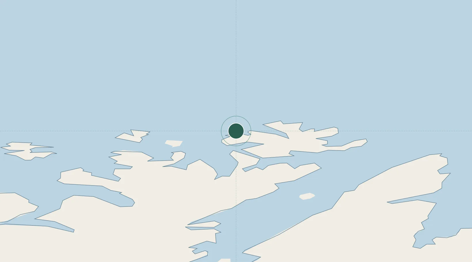
Location
Nearby Logistics Neighbours
Cities
- 1Skarsvåg16 km
- 2Kuvika19 km
- 3Honningsvåg26 km
- 4Havøysund28 km
- 5Repvåg40 km
Ports
- 1Honningsvag24 km
- 2Kjollefjorden72 km
- 3Hammerfest79 km
- 4Kvalsund84 km
- 5Mehamnfjorden89 km
Airports
- 1Honningsvåg Airport, Valan24 km
- 2Hammerfest Airport78 km
- 3Mehamn Airport89 km
- 4Lakselv Airport, Banak116 km
- 5Berlevåg Airport135 km
Trade Zones
- 1Murmansk Special Economic Zone377 km
- 2Oulu Port Free Warehouse Area679 km
- 3Free Zone of Lappeenranta1125 km
- 4Port of Hamina-Kotka1184 km
- 5Turku Free Zone1193 km
DatabookThe Record of Consolidated Knowledge
Norway beyond logistics?