Transport Functions
Port
Road
Hub Profile
Region
20
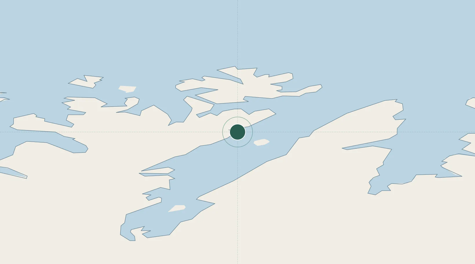
Location
Nearby Logistics Neighbours
Cities
- 1Honningsvåg26 km
- 2Kuvika34 km
- 3Skarsvåg39 km
- 4Gjesvær40 km
- 5Snefjord41 km
Ports
- 1Honningsvag28 km
- 2Kjollefjorden64 km
- 3Kvalsund68 km
- 4Hammerfest75 km
- 5Mehamnfjorden85 km
Airports
- 1Honningsvåg Airport, Valan31 km
- 2Hammerfest Airport74 km
- 3Lakselv Airport, Banak80 km
- 4Mehamn Airport84 km
- 5Alta Airport122 km
Trade Zones
- 1Murmansk Special Economic Zone346 km
- 2Oulu Port Free Warehouse Area640 km
- 3Free Zone of Lappeenranta1085 km
- 4Port of Hamina-Kotka1145 km
- 5Turku Free Zone1157 km
DatabookThe Record of Consolidated Knowledge
Norway beyond logistics?