Transport Functions
Port
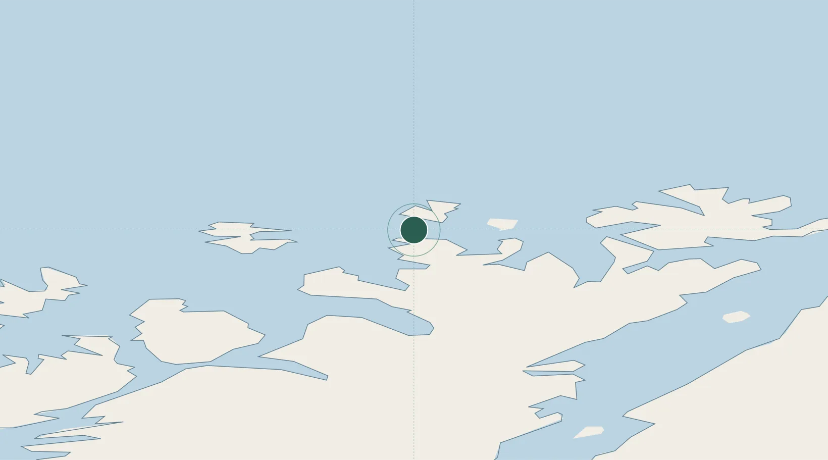
Hub Profile
Region
20
Location
Nearby Logistics Neighbours
Ports
- 1Honningsvag47 km
- 2Hammerfest52 km
- 3Kvalsund60 km
- 4Kjollefjorden97 km
- 5Sorvaer107 km
Airports
- 1Honningsvåg Airport, Valan48 km
- 2Hammerfest Airport51 km
- 3Lakselv Airport, Banak104 km
- 4Hasvik Airport109 km
- 5Mehamn Airport114 km
Trade Zones
- 1Murmansk Special Economic Zone392 km
- 2Oulu Port Free Warehouse Area668 km
- 3Free Zone of Lappeenranta1118 km
- 4Port of Hamina-Kotka1175 km
- 5Turku Free Zone1179 km
DatabookThe Record of Consolidated Knowledge
Norway beyond logistics?