Transport Functions
Port
Hub Profile
Place type
Populated place
Region
Finnmark
Time zone
Europe/Oslo
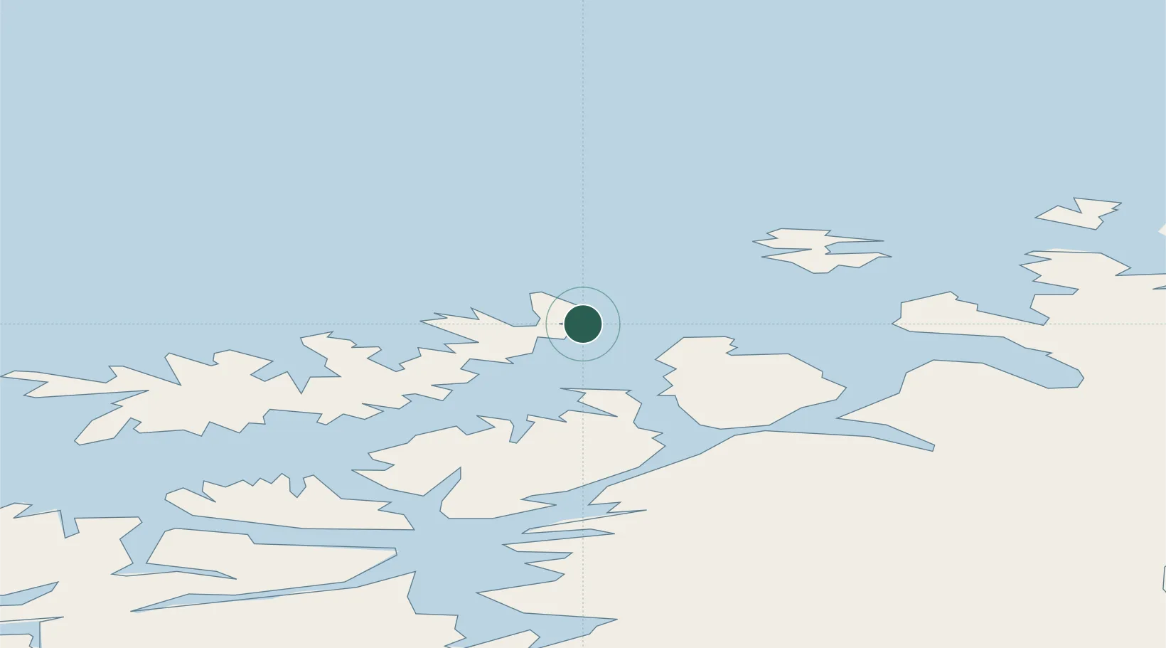
Location
Nearby Logistics Neighbours
Cities
- 1Melkøya12 km
- 2Forsøl15 km
- 3Hammerfest17 km
- 4Rypefjord19 km
- 5Kårhamn28 km
Ports
- 1Hammerfest15 km
- 2Kvalsund37 km
- 3Sorvaer57 km
- 4Oksfjord74 km
- 5Alta90 km
Airports
- 1Hammerfest Airport14 km
- 2Hasvik Airport59 km
- 3Alta Airport90 km
- 4Honningsvåg Airport, Valan96 km
- 5Lakselv Airport, Banak98 km
Trade Zones
- 1Murmansk Special Economic Zone420 km
- 2Oulu Port Free Warehouse Area649 km
- 3Free Zone of Lappeenranta1103 km
- 4Turku Free Zone1151 km
- 5Port of Hamina-Kotka1158 km
DatabookThe Record of Consolidated Knowledge
Norway beyond logistics?