UN/LOCODE hub · Norway
NOHSV

Hausvikstrand

58.0333°, 6.9833°
1
Transport functions

Transport Functions

Port
UN/LOCODE

Hub Profile

Region
10
GeoNames

Location

Location of NOHSV
Natural Earth 10m (public domain) · 10 · NOHSV · 58.03, 6.98GoogleOSMYandex

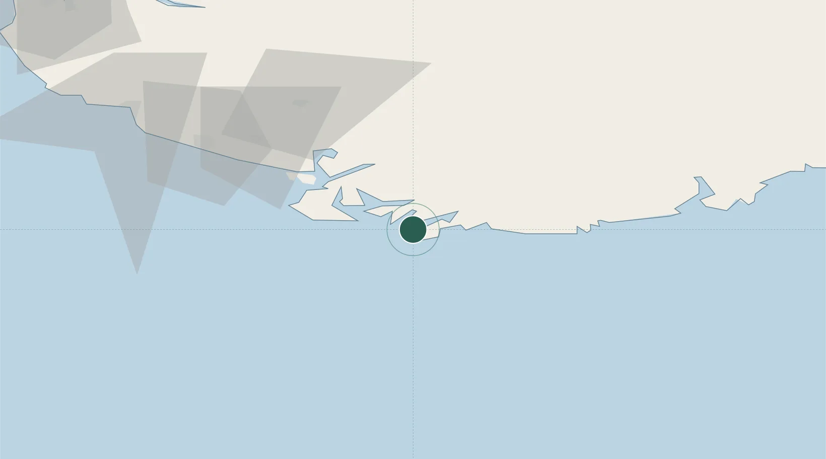
Nearby Logistics Neighbours

Cities
  1. 1Agnefest10 km
  2. 2Båly10 km
  3. 3Farsund12 km
  4. 4Kvåfjord19 km
  5. 5Moi27 km
Nearest neighbours — logibook spatial index (haversine) over the source coordinates
Ports
  1. 1Farsund12 km
  2. 2Mandal29 km
  3. 3Flekkefjorden32 km
  4. 4Kirkehamn35 km
  5. 5Jossingfjord49 km
Nearest neighbours — logibook spatial index (haversine) over the source coordinates
Airports
  1. 1Kristiansand Airport68 km
  2. 2Stavanger Airport, Sola122 km
  3. 3Thisted Airport149 km
  4. 4Haugesund Airport, Karmøy178 km
  5. 5Skien Airport197 km
Nearest neighbours — logibook spatial index (haversine) over the source coordinates
Trade Zones
  1. 1Gothenburg Boundless Customs Warehouse288 km
  2. 2Jönköping Free Zone421 km
  3. 3Freeport of Copenhagen- Nordhavn428 km
  4. 4Freeport of Kiel456 km
  5. 5MTS Malmö Transport and Spedition459 km
Nearest neighbours — logibook spatial index (haversine) over the source coordinates
DatabookThe Record of Consolidated Knowledge
Norway beyond logistics?
Browse databook

All Sources

LocationsUN/LOCODE
UN/LOCODE — free
Portsthe NGA World Port Index
Public domain (US gov)
AirportsOurAirports
Public domain
Trade Zonesthe World Bank SEZ database
CC BY 4.0
Trade ZonesOpen Zone Map
CC BY
← Norway locations