UN/LOCODE hub · Norway
NOBAL

Båly

58.0333°, 7.1500°
1
Transport functions

Transport Functions

Port
UN/LOCODE

Hub Profile

Region
10
GeoNames

Location

Location of NOBAL
Natural Earth 10m (public domain) · 10 · NOBAL · 58.03, 7.15GoogleOSMYandex

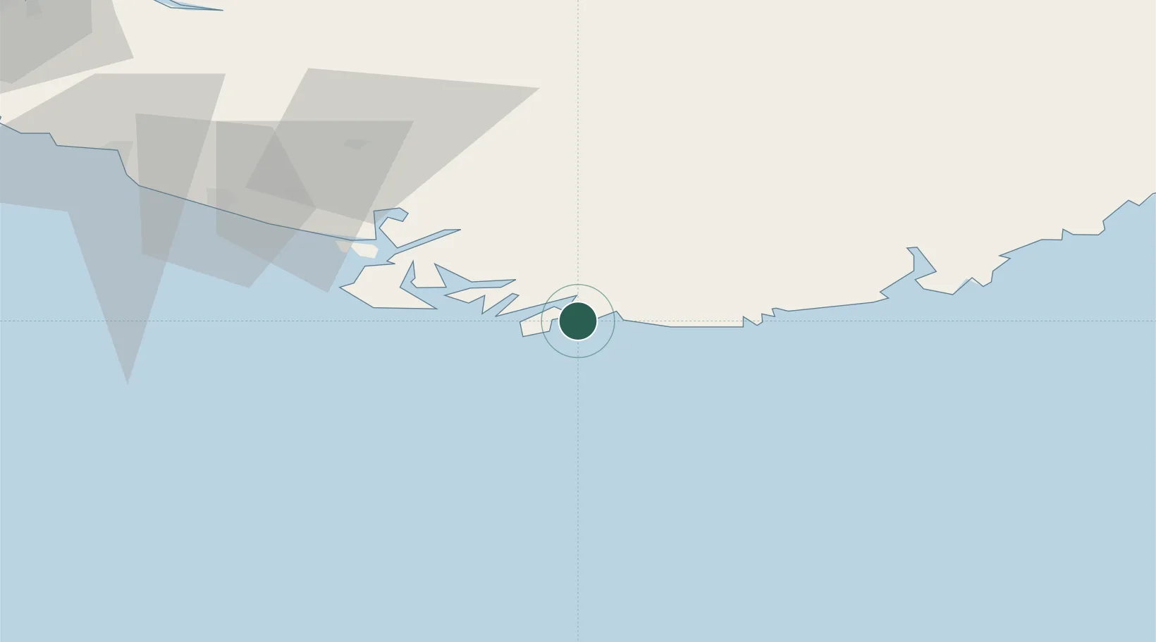
Nearby Logistics Neighbours

Cities
  1. 1Kvåfjord9 km
  2. 2Hausvikstrand10 km
  3. 3Agnefest12 km
  4. 4Mandal18 km
  5. 5Farsund21 km
Nearest neighbours — logibook spatial index (haversine) over the source coordinates
Ports
  1. 1Mandal19 km
  2. 2Farsund22 km
  3. 3Flekkefjorden39 km
  4. 4Kirkehamn43 km
  5. 5Kristiansand52 km
Nearest neighbours — logibook spatial index (haversine) over the source coordinates
Airports
  1. 1Kristiansand Airport58 km
  2. 2Stavanger Airport, Sola129 km
  3. 3Thisted Airport142 km
  4. 4Haugesund Airport, Karmøy184 km
  5. 5Skien Airport190 km
Nearest neighbours — logibook spatial index (haversine) over the source coordinates
Trade Zones
  1. 1Gothenburg Boundless Customs Warehouse278 km
  2. 2Jönköping Free Zone411 km
  3. 3Freeport of Copenhagen- Nordhavn420 km
  4. 4MTS Malmö Transport and Spedition451 km
  5. 5Freeport of Kiel452 km
Nearest neighbours — logibook spatial index (haversine) over the source coordinates
DatabookThe Record of Consolidated Knowledge
Norway beyond logistics?
Browse databook

All Sources

LocationsUN/LOCODE
UN/LOCODE — free
Portsthe NGA World Port Index
Public domain (US gov)
AirportsOurAirports
Public domain
Trade Zonesthe World Bank SEZ database
CC BY 4.0
Trade ZonesOpen Zone Map
CC BY
← Norway locations