Transport Functions
Port
Road
Hub Profile
Place type
Populated place
Region
Agder
Time zone
Europe/Oslo
Elevation
1 m
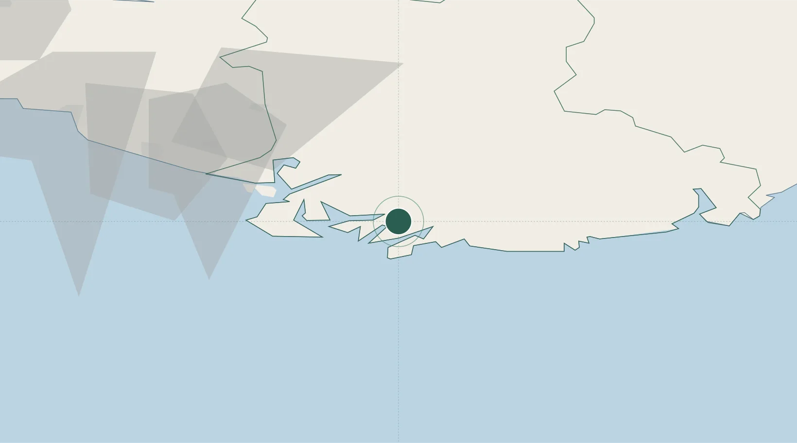
Location
Nearby Logistics Neighbours
Cities
- 1Hausvikstrand10 km
- 2Båly12 km
- 3Farsund14 km
- 4Moi17 km
- 5Kvåfjord18 km
Ports
- 1Farsund14 km
- 2Flekkefjorden28 km
- 3Mandal28 km
- 4Kirkehamn32 km
- 5Jossingfjord47 km
Airports
- 1Kristiansand Airport63 km
- 2Stavanger Airport, Sola117 km
- 3Thisted Airport153 km
- 4Haugesund Airport, Karmøy173 km
- 5Skien Airport189 km
Trade Zones
- 1Gothenburg Boundless Customs Warehouse286 km
- 2Jönköping Free Zone418 km
- 3Freeport of Copenhagen- Nordhavn431 km
- 4MTS Malmö Transport and Spedition462 km
- 5Freeport of Kiel463 km
DatabookThe Record of Consolidated Knowledge
Norway beyond logistics?