Transport Functions
Port
Road
Hub Profile
Place type
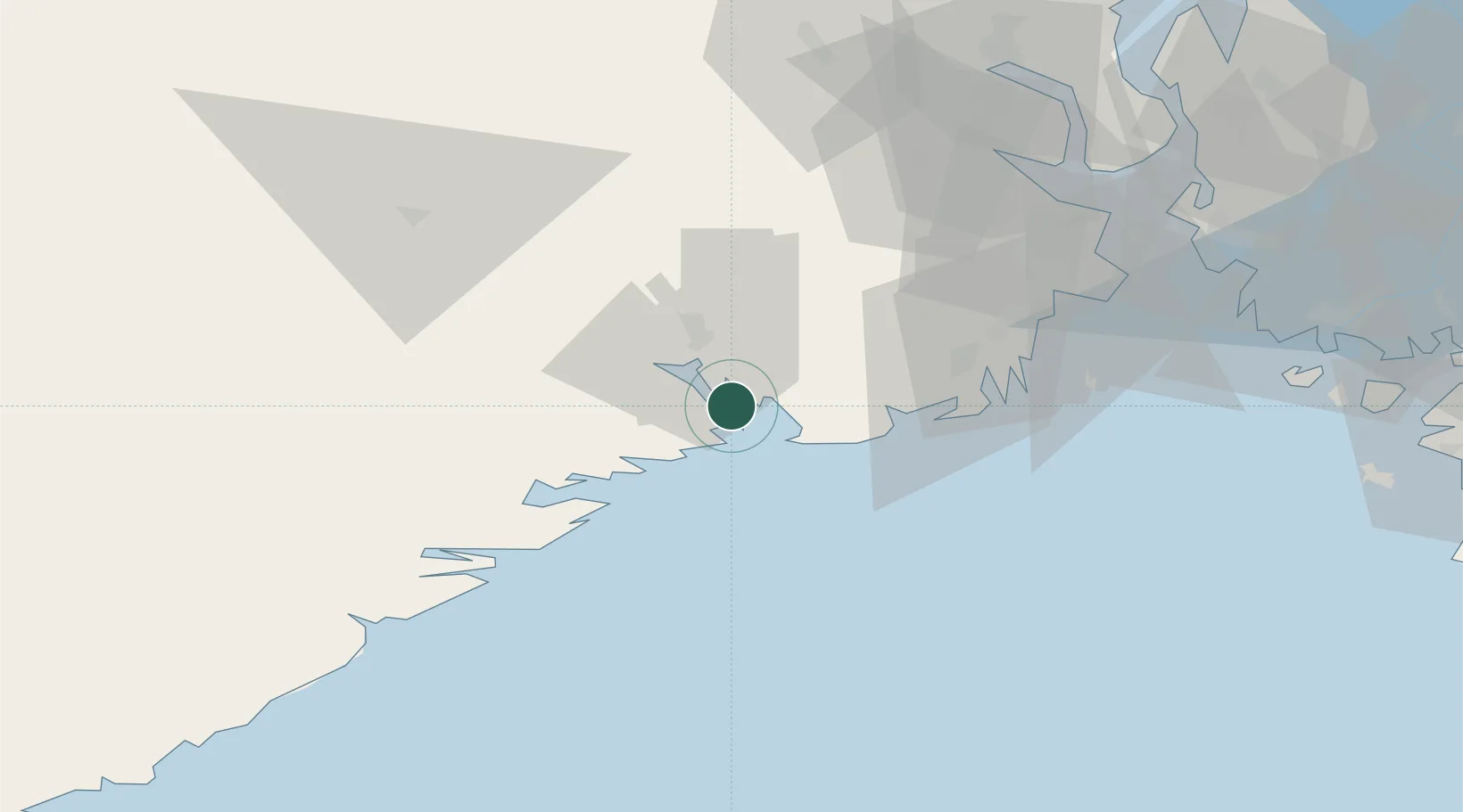
Populated place
Region
Telemark
Time zone
Europe/Oslo
Elevation
-1 m
Location
Nearby Logistics Neighbours
Cities
- 1Brevik4 km
- 2Eidangerfjorden4 km
- 3Langesund4 km
- 4Skjerkøya5 km
- 5Svartebukt8 km
Airports
- 1Skien Airport19 km
- 2Sandefjord Airport, Torp36 km
- 3Notodden Airport65 km
- 4Moss Airport, Rygge73 km
- 5Kristiansand Airport131 km
Trade Zones
- 1Gothenburg Boundless Customs Warehouse192 km
- 2Jönköping Free Zone292 km
- 3Freeport of Copenhagen- Nordhavn408 km
- 4MTS Malmö Transport and Spedition432 km
- 5Freeport of Kiel523 km
DatabookThe Record of Consolidated Knowledge
Norway beyond logistics?