Transport Functions
Port
Road
Hub Profile
Place type
Populated place
Region
Telemark
Time zone
Europe/Oslo
Elevation
21 m
Logistics facilities
2
Container terminals
1
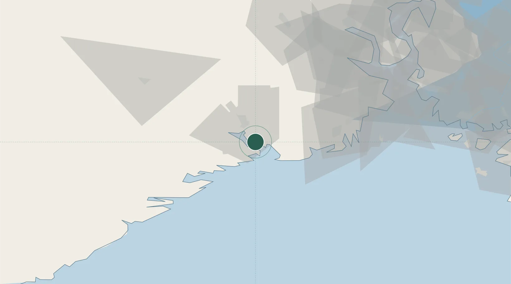
Location
Nearby Logistics Neighbours
Cities
- 1Eidangerfjorden0 km
- 2Stathelle4 km
- 3Herøya7 km
- 4Langesund8 km
- 5Skjerkøya8 km
Ports
- 1Porsgrunn9 km
- 2Skien16 km
- 3Larvik19 km
- 4Kragero28 km
- 5Sandefjorden31 km
Airports
- 1Skien Airport15 km
- 2Sandefjord Airport, Torp35 km
- 3Notodden Airport62 km
- 4Moss Airport, Rygge71 km
- 5Kristiansand Airport134 km
Trade Zones
- 1Gothenburg Boundless Customs Warehouse195 km
- 2Jönköping Free Zone294 km
- 3Freeport of Copenhagen- Nordhavn411 km
- 4MTS Malmö Transport and Spedition435 km
- 5Freeport of Kiel527 km
DatabookThe Record of Consolidated Knowledge
Norway beyond logistics?