Transport Functions
Port
Rail
Road
Hub Profile
Region
08
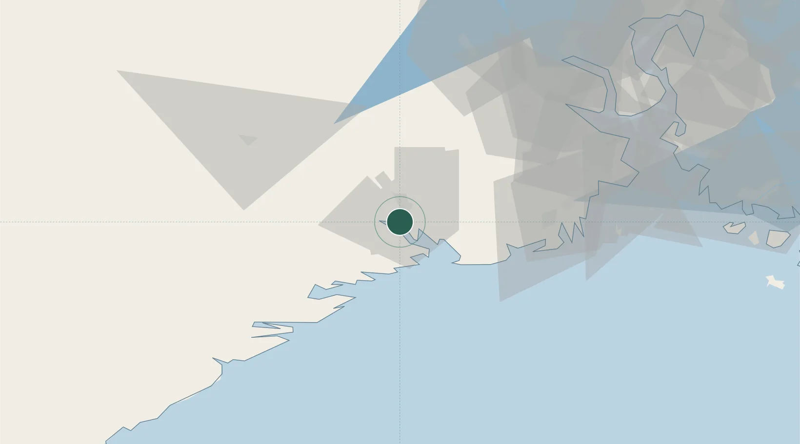
Location
Nearby Logistics Neighbours
Cities
- 1Porsgrunn2 km
- 2Herre3 km
- 3Rafnes3 km
- 4Menstad6 km
- 5Eidangerfjorden7 km
Airports
- 1Skien Airport8 km
- 2Sandefjord Airport, Torp37 km
- 3Notodden Airport55 km
- 4Moss Airport, Rygge73 km
- 5Kristiansand Airport135 km
Trade Zones
- 1Gothenburg Boundless Customs Warehouse202 km
- 2Jönköping Free Zone301 km
- 3Freeport of Copenhagen- Nordhavn418 km
- 4MTS Malmö Transport and Spedition443 km
- 5Freeport of Kiel533 km
DatabookThe Record of Consolidated Knowledge
Norway beyond logistics?