UN/LOCODE hub · Norway
NOSKI

Skjerkøya

59.0000°, 9.7500°
1
Transport functions

Transport Functions

Port
UN/LOCODE

Hub Profile

Region
08
GeoNames

Location

Location of NOSKI
Natural Earth 10m (public domain) · 08 · NOSKI · 59.00, 9.75GoogleOSMYandex

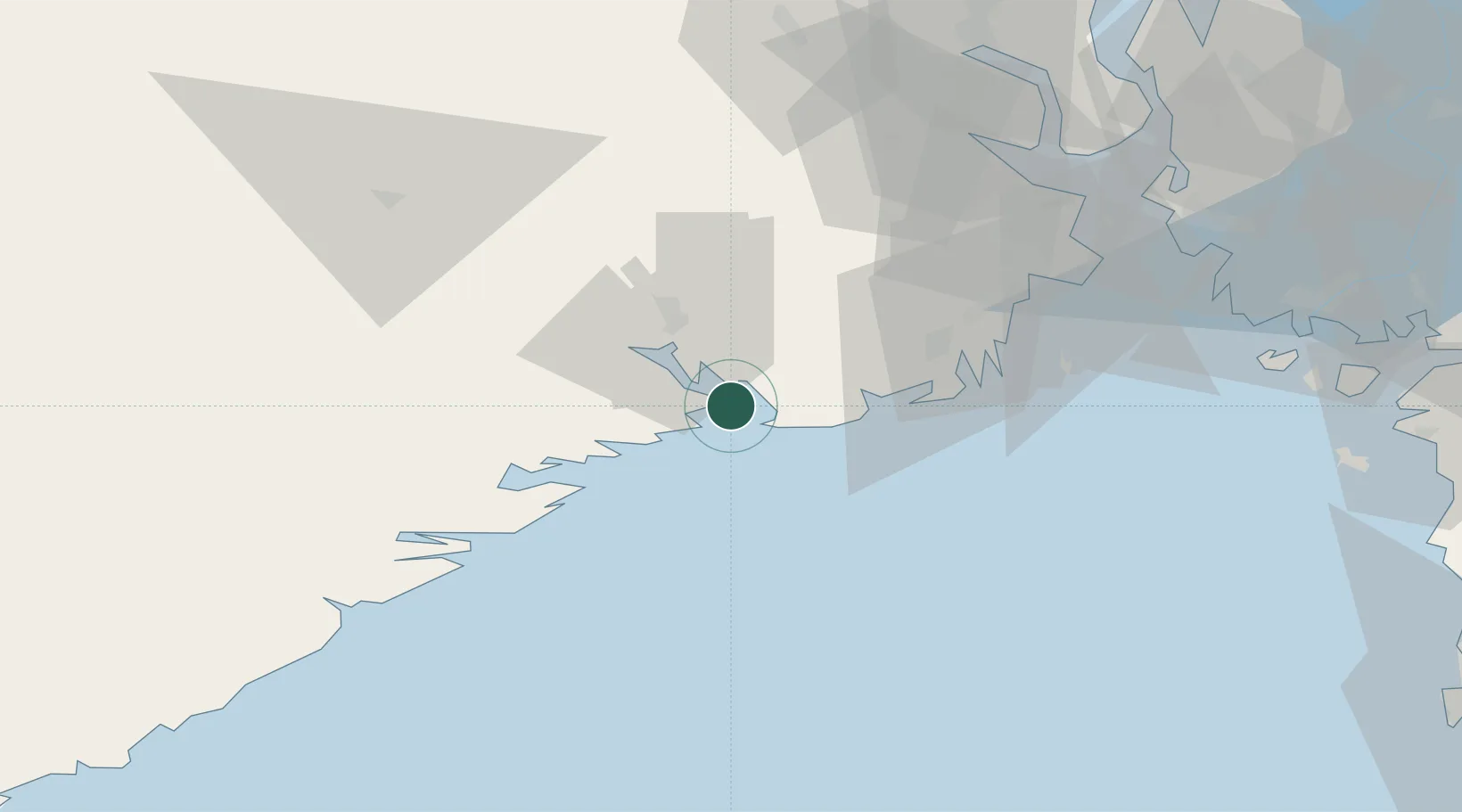
Nearby Logistics Neighbours

Cities
  1. 1Langesund1 km
  2. 2Stathelle5 km
  3. 3Svartebukt5 km
  4. 4Nevlunghamn8 km
  5. 5Brevik8 km
Nearest neighbours — logibook spatial index (haversine) over the source coordinates
Ports
  1. 1Brevik8 km
  2. 2Larvik17 km
  3. 3Porsgrunn17 km
  4. 4Skien24 km
  5. 5Kragero25 km
Nearest neighbours — logibook spatial index (haversine) over the source coordinates
Airports
  1. 1Skien Airport23 km
  2. 2Sandefjord Airport, Torp36 km
  3. 3Notodden Airport70 km
  4. 4Moss Airport, Rygge73 km
  5. 5Kristiansand Airport131 km
Nearest neighbours — logibook spatial index (haversine) over the source coordinates
Trade Zones
  1. 1Gothenburg Boundless Customs Warehouse188 km
  2. 2Jönköping Free Zone288 km
  3. 3Freeport of Copenhagen- Nordhavn403 km
  4. 4MTS Malmö Transport and Spedition427 km
  5. 5Freeport of Kiel520 km
Nearest neighbours — logibook spatial index (haversine) over the source coordinates
DatabookThe Record of Consolidated Knowledge
Norway beyond logistics?
Browse databook

All Sources

LocationsUN/LOCODE
UN/LOCODE — free
Portsthe NGA World Port Index
Public domain (US gov)
AirportsOurAirports
Public domain
Trade Zonesthe World Bank SEZ database
CC BY 4.0
Trade ZonesOpen Zone Map
CC BY
← Norway locations