Transport Functions
Port
Road
Hub Profile
Place type
Provincial seat
Region
Telemark
Time zone
Europe/Oslo
Elevation
5 m
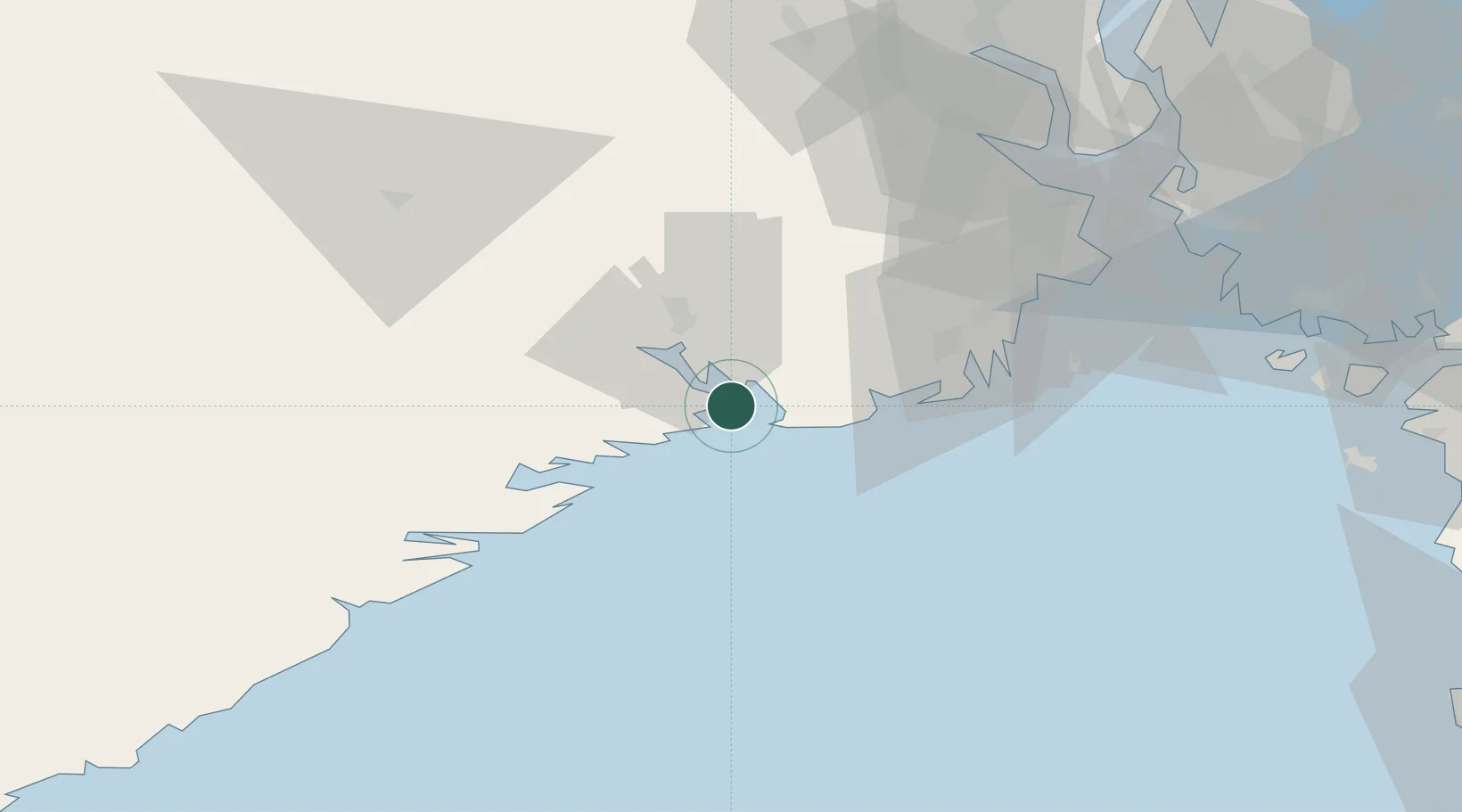
Location
Nearby Logistics Neighbours
Cities
- 1Skjerkøya1 km
- 2Stathelle4 km
- 3Svartebukt6 km
- 4Brevik8 km
- 5Eidangerfjorden8 km
Airports
- 1Skien Airport23 km
- 2Sandefjord Airport, Torp37 km
- 3Notodden Airport69 km
- 4Moss Airport, Rygge73 km
- 5Kristiansand Airport130 km
Trade Zones
- 1Gothenburg Boundless Customs Warehouse188 km
- 2Jönköping Free Zone289 km
- 3Freeport of Copenhagen- Nordhavn404 km
- 4MTS Malmö Transport and Spedition428 km
- 5Freeport of Kiel520 km
DatabookThe Record of Consolidated Knowledge
Norway beyond logistics?