Transport Functions
Port
Road
Hub Profile
Region
20
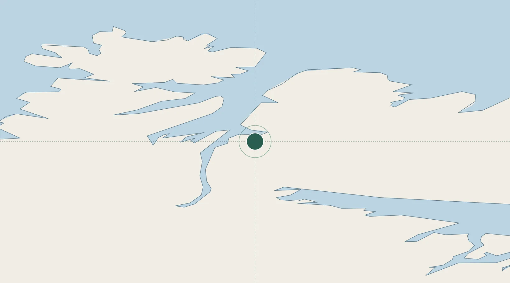
Location
Nearby Logistics Neighbours
Cities
- 1Kongsfjord43 km
- 2Nyelv43 km
- 3Berlevåg50 km
- 4Båtsfjord50 km
- 5Vadsø64 km
Ports
- 1Batsfjord51 km
- 2Berlevag51 km
- 3Vadso63 km
- 4Kjollefjorden70 km
- 5Mehamnfjorden70 km
Airports
- 1Båtsfjord Airport48 km
- 2Berlevåg Airport51 km
- 3Vadsø Airport67 km
- 4Mehamn Airport69 km
- 5Vardø Airport, Svartnes96 km
Trade Zones
- 1Murmansk Special Economic Zone243 km
- 2Oulu Port Free Warehouse Area620 km
- 3Free Zone of Lappeenranta1046 km
- 4Port of Hamina-Kotka1112 km
- 5Turku Free Zone1148 km
DatabookThe Record of Consolidated Knowledge
Norway beyond logistics?