Transport Functions
Port
Road
Airport
Hub Profile
Place type
Provincial seat
Region
Finnmark
Population
2,166
Time zone
Europe/Oslo
Elevation
1 m
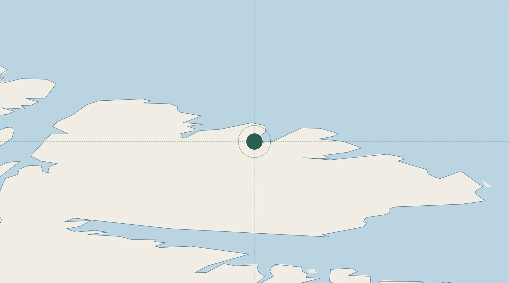
Location
Nearby Logistics Neighbours
Cities
- 1Kongsfjord17 km
- 2Berlevåg33 km
- 3Leirpollen50 km
- 4Vardø59 km
- 5Vadsø63 km
Ports
- 1Berlevag34 km
- 2Vardo59 km
- 3Vadso62 km
- 4Mehamnfjorden82 km
- 5Kjollefjorden94 km
Airports
- 1Båtsfjord Airport4 km
- 2Berlevåg Airport36 km
- 3Vardø Airport, Svartnes58 km
- 4Vadsø Airport63 km
- 5Mehamn Airport82 km
Trade Zones
- 1Murmansk Special Economic Zone227 km
- 2Oulu Port Free Warehouse Area652 km
- 3Free Zone of Lappeenranta1069 km
- 4Port of Hamina-Kotka1137 km
- 5Turku Free Zone1182 km
DatabookThe Record of Consolidated Knowledge
Norway beyond logistics?