Transport Functions
Port
Road
Airport
Hub Profile
Region
20
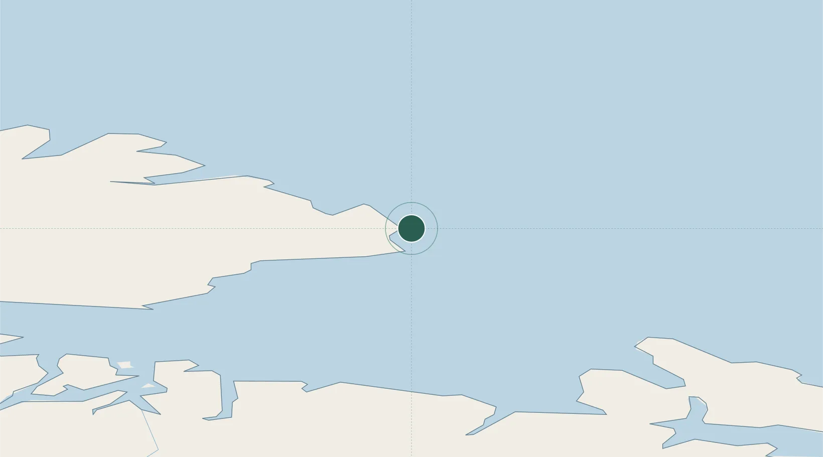
Location
Nearby Logistics Neighbours
Cities
- 1Båtsfjord59 km
- 2Vadsø60 km
- 3Bugøynes71 km
- 4Kongsfjord77 km
- 5Jakobsnes80 km
Ports
- 1Batsfjord59 km
- 2Vadso61 km
- 3Kirkenes81 km
- 4Berlevag92 km
- 5Mehamnfjorden142 km
Airports
- 1Vardø Airport, Svartnes2 km
- 2Vadsø Airport58 km
- 3Båtsfjord Airport58 km
- 4Kirkenes Airport, Høybuktmoen85 km
- 5Berlevåg Airport95 km
Trade Zones
DatabookThe Record of Consolidated Knowledge
Norway beyond logistics?