UN/LOCODE hub · Norway
NOBUF

Burfjord

69.9333°, 22.0500°
405
Population
1
Transport functions

Transport Functions

Port
UN/LOCODE

Hub Profile

Place type
Provincial seat
GeoNames
Region
Troms
GeoNames
Population
405
GeoNames
Time zone
Europe/Oslo
GeoNames
Elevation
119 m
GeoNames

Location

Location of NOBUF
Natural Earth 10m (public domain) · Troms · NOBUF · 69.93, 22.05GoogleOSMYandex

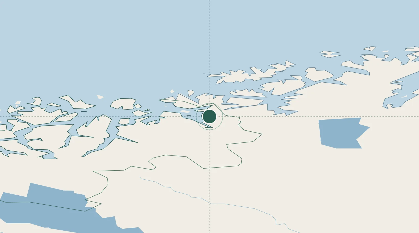
Nearby Logistics Neighbours

Cities
  1. 1Reinfjord25 km
  2. 2Øksfjord35 km
  3. 3Bergsfjord37 km
  4. 4Hummelvik37 km
  5. 5Skjervøy43 km
Nearest neighbours — logibook spatial index (haversine) over the source coordinates
Ports
  1. 1Oksfjord35 km
  2. 2Alta45 km
  3. 3Sorvaer77 km
  4. 4Kvalsund97 km
  5. 5Hammerfest102 km
Nearest neighbours — logibook spatial index (haversine) over the source coordinates
Airports
  1. 1Sørkjosen Airport45 km
  2. 2Alta Airport51 km
  3. 3Hasvik Airport62 km
  4. 4Hammerfest Airport103 km
  5. 5Lakselv Airport, Banak112 km
Nearest neighbours — logibook spatial index (haversine) over the source coordinates
Trade Zones
  1. 1Murmansk Special Economic Zone444 km
  2. 2Oulu Port Free Warehouse Area567 km
  3. 3Free Zone of Lappeenranta1026 km
  4. 4Turku Free Zone1055 km
  5. 5Port of Hamina-Kotka1076 km
Nearest neighbours — logibook spatial index (haversine) over the source coordinates
DatabookThe Record of Consolidated Knowledge
Norway beyond logistics?
Browse databook

All Sources

LocationsUN/LOCODE
UN/LOCODE — free
LocationsGeoNames
CC BY 4.0
Portsthe NGA World Port Index
Public domain (US gov)
AirportsOurAirports
Public domain
Trade Zonesthe World Bank SEZ database
CC BY 4.0
Trade ZonesOpen Zone Map
CC BY
← Norway locations