Transport Functions
Port
Road
Hub Profile
Region
20
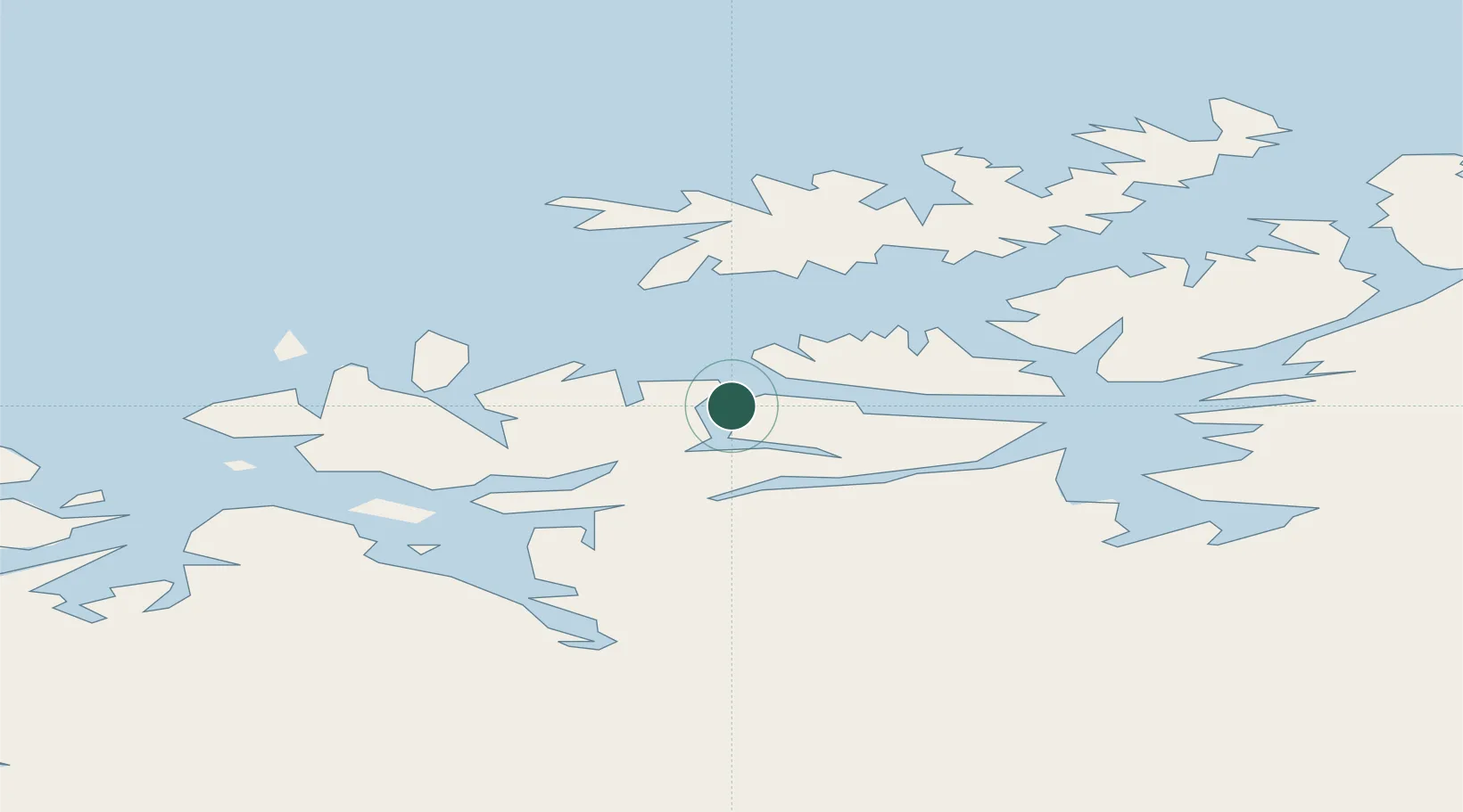
Location
Nearby Logistics Neighbours
Cities
- 1Stjernøya16 km
- 2Bergsfjord21 km
- 3Hummelvik21 km
- 4Hasvik27 km
- 5Reinfjord31 km
Ports
- 1Alta45 km
- 2Sorvaer46 km
- 3Kvalsund69 km
- 4Hammerfest69 km
- 5Tromso144 km
Airports
- 1Hasvik Airport29 km
- 2Alta Airport49 km
- 3Hammerfest Airport70 km
- 4Sørkjosen Airport72 km
- 5Lakselv Airport, Banak101 km
Trade Zones
- 1Murmansk Special Economic Zone440 km
- 2Oulu Port Free Warehouse Area597 km
- 3Free Zone of Lappeenranta1055 km
- 4Turku Free Zone1089 km
- 5Port of Hamina-Kotka1106 km
DatabookThe Record of Consolidated Knowledge
Norway beyond logistics?