Transport Functions
Port
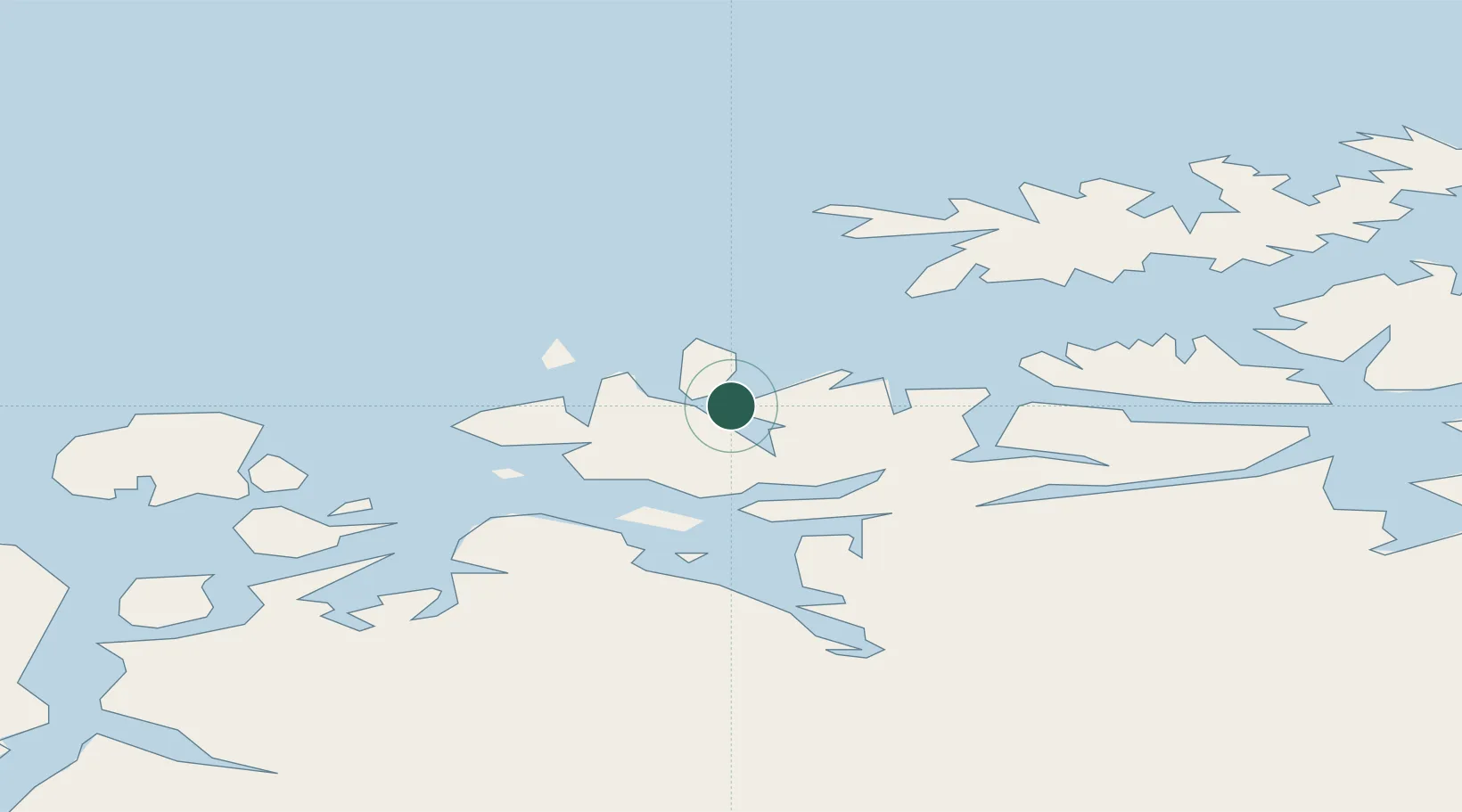
Hub Profile
Place type
Populated place
Region
Finnmark
Time zone
Europe/Oslo
Elevation
122 m
Location
Nearby Logistics Neighbours
Ports
- 1Oksfjord21 km
- 2Sorvaer43 km
- 3Alta63 km
- 4Hammerfest84 km
- 5Kvalsund87 km
Airports
- 1Hasvik Airport30 km
- 2Sørkjosen Airport60 km
- 3Alta Airport67 km
- 4Hammerfest Airport85 km
- 5Lakselv Airport, Banak122 km
Trade Zones
- 1Murmansk Special Economic Zone460 km
- 2Oulu Port Free Warehouse Area604 km
- 3Free Zone of Lappeenranta1063 km
- 4Turku Free Zone1091 km
- 5Port of Hamina-Kotka1113 km
DatabookThe Record of Consolidated Knowledge
Norway beyond logistics?