Transport Functions
Port
Road
Airport
Hub Profile
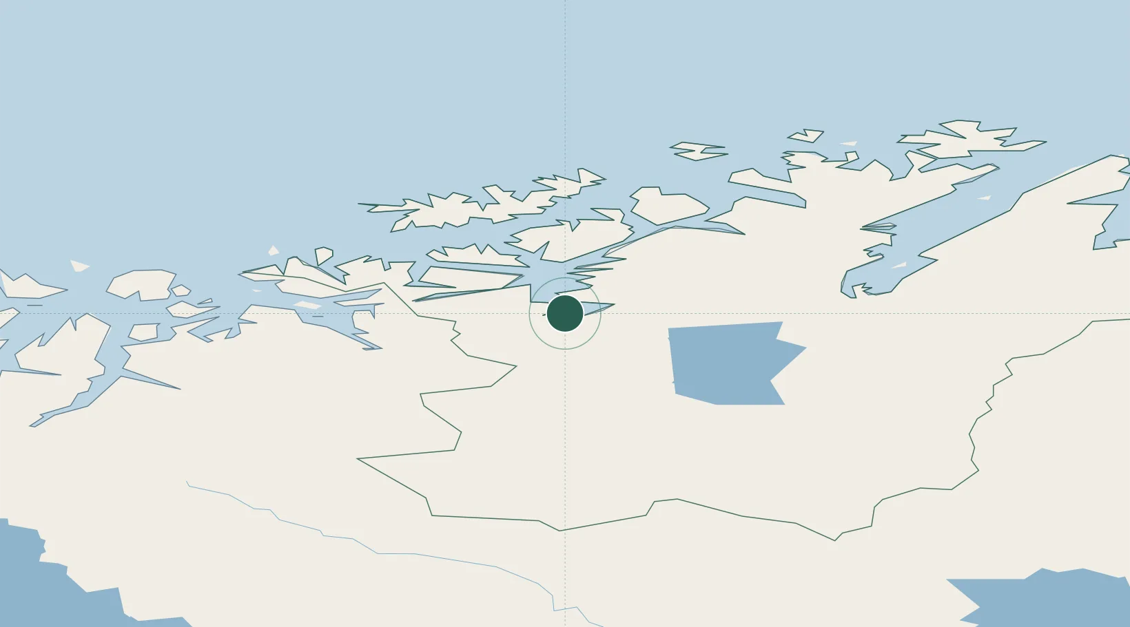
Place type
Provincial seat
Region
Finnmark
Population
15,094
Time zone
Europe/Oslo
Elevation
65 m
Location
Nearby Logistics Neighbours
Cities
- 1Stjernøya42 km
- 2Øksfjord45 km
- 3Burfjord45 km
- 4Bergsfjord63 km
- 5Hummelvik63 km
Ports
- 1Oksfjord45 km
- 2Kvalsund66 km
- 3Hammerfest80 km
- 4Sorvaer88 km
- 5Honningsvag152 km
Airports
- 1Alta Airport5 km
- 2Lakselv Airport, Banak67 km
- 3Hasvik Airport71 km
- 4Hammerfest Airport81 km
- 5Sørkjosen Airport89 km
Trade Zones
- 1Murmansk Special Economic Zone400 km
- 2Oulu Port Free Warehouse Area560 km
- 3Free Zone of Lappeenranta1017 km
- 4Turku Free Zone1060 km
- 5Port of Hamina-Kotka1070 km
DatabookThe Record of Consolidated Knowledge
Norway beyond logistics?