Transport Functions
Multimodal
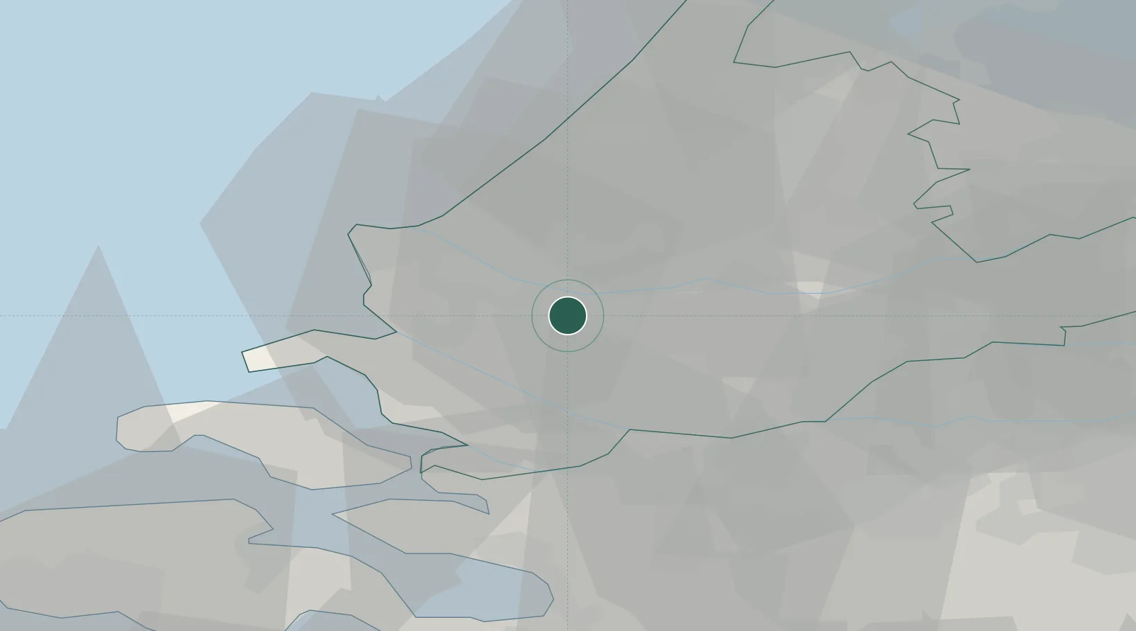
Hub Profile
Region
ZH
Location
Nearby Logistics Neighbours
Cities
- 1Rotterdam4 km
- 2Pernis5 km
- 3Botlek6 km
- 4Hekelingen6 km
- 5Poortugaal6 km
Ports
- 1Vlaardingen4 km
- 2Schiedam7 km
- 3Maassluis7 km
- 4Rotterdam12 km
- 5Hoek Van Holland16 km
Airports
Trade Zones
- 1ZFU Tourcoing150 km
- 2ZFU Hem et Roubaix154 km
- 3Freeport of Duisburg164 km
- 4ZFU Condé sur lEscaut164 km
- 5ZFU de Lille et de Loos165 km
DatabookThe Record of Consolidated Knowledge
Netherlands beyond logistics?