UN/LOCODE hub · Netherlands
NLRTM
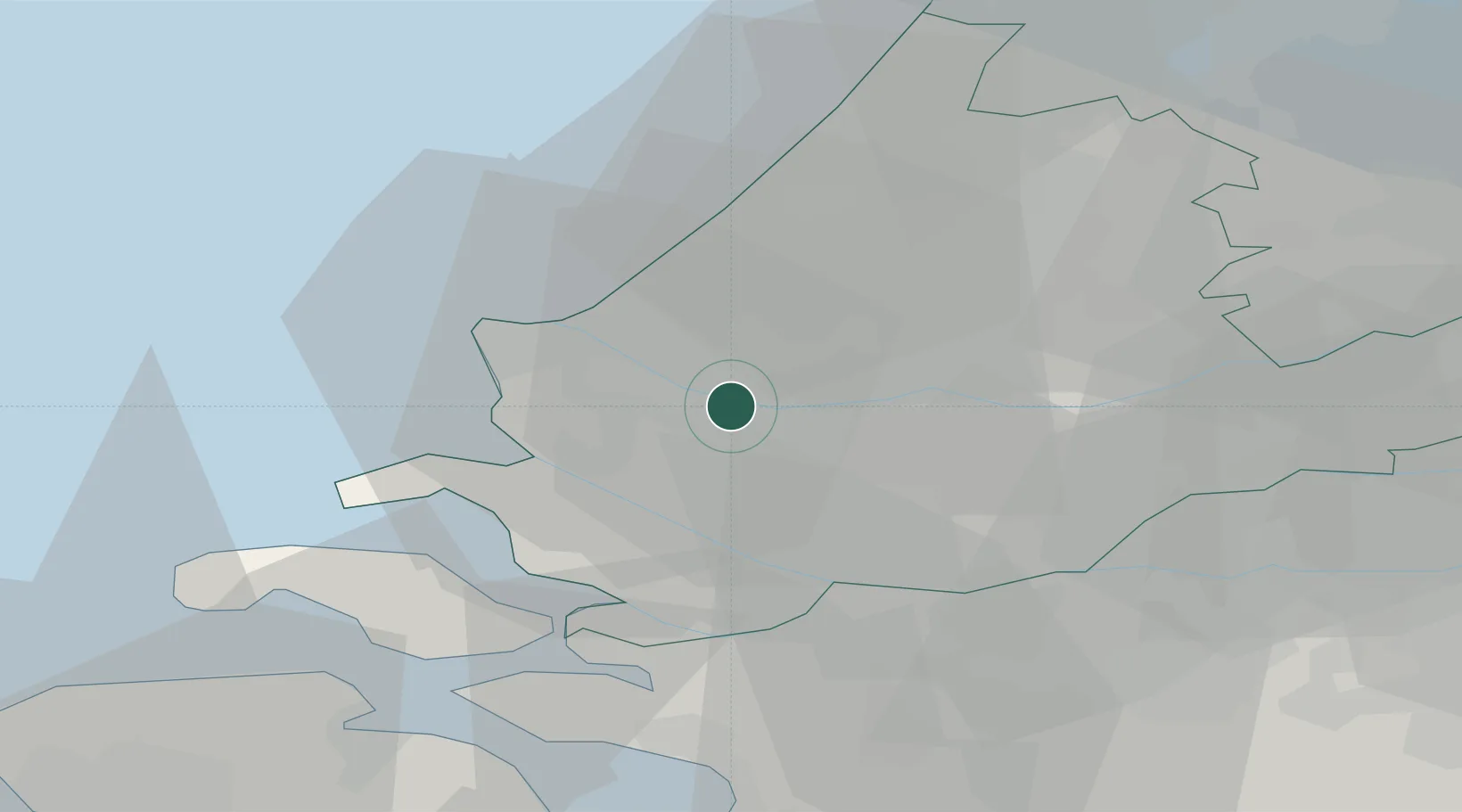
Rotterdam
51.8986°, 4.2916°
868,135
Population
5
Transport functions
20
Container terminals
Transport Functions
Port
Rail
Road
Airport
Postal
Hub Profile
Place type
Populated place
Region
South Holland
Population
868,135
Time zone
Europe/Amsterdam
Elevation
9 m
Logistics facilities
77
Container terminals
20
Location
Nearby Logistics Neighbours
Cities
- 1Botlek4 km
- 2Vondelingenplaat4 km
- 3Zwartewaal6 km
- 4Pernis7 km
- 5Europoort8 km
Ports
- 1Maassluis4 km
- 2Vlaardingen4 km
- 3Schiedam7 km
- 4Hoek Van Holland12 km
- 5Europoort13 km
Airports
Trade Zones
- 1ZFU Tourcoing153 km
- 2ZFU Hem et Roubaix156 km
- 3Freeport of Duisburg166 km
- 4ZFU Saint Pol sur Mer166 km
- 5ZFU de Lille et de Loos167 km
DatabookThe Record of Consolidated Knowledge
Netherlands beyond logistics?