UN/LOCODE hub · Singapore
SGSIN
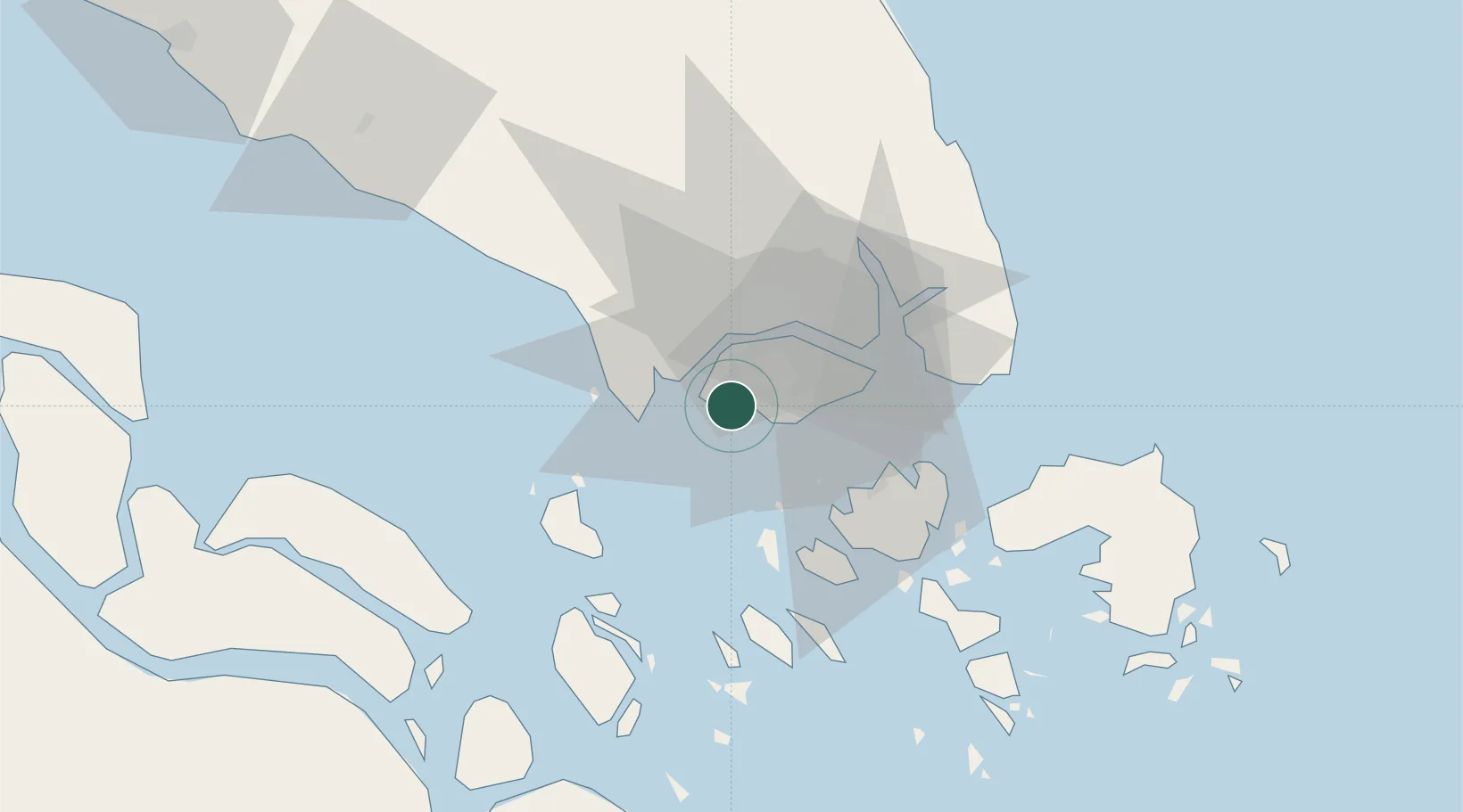
Singapore
1.3028°, 103.7067°
5,638,700
Population
3
Transport functions
6
Container terminals
Transport Functions
Port
Airport
Postal
Hub Profile
Place type
National capital
Population
5,638,700
Time zone
Asia/Singapore
Elevation
23 m
Logistics facilities
42
Container terminals
6
Location
Nearby Logistics Neighbours
Cities
- 1Jurong/Singapore3 km
- 2Pulau Ayer Chawan4 km
- 3Tuas7 km
- 4PASIR PANJANG Terminal7 km
- 5Pasir Panjang Wharves9 km
Ports
- 1Jurong Island4 km
- 2Pulau Bukom10 km
- 3Pulau Sebarok15 km
- 4Keppel - (East Singapore)16 km
- 5Tanjung Pelepas18 km
Airports
- 1Tengah Air Base9 km
- 2Sembawang Air Base18 km
- 3Seletar Airport22 km
- 4Paya Lebar Air Base24 km
- 5Singapore Changi Airport32 km
DatabookThe Record of Consolidated Knowledge
Singapore beyond logistics?