UN/LOCODE hub · Malaysia
MYTPP
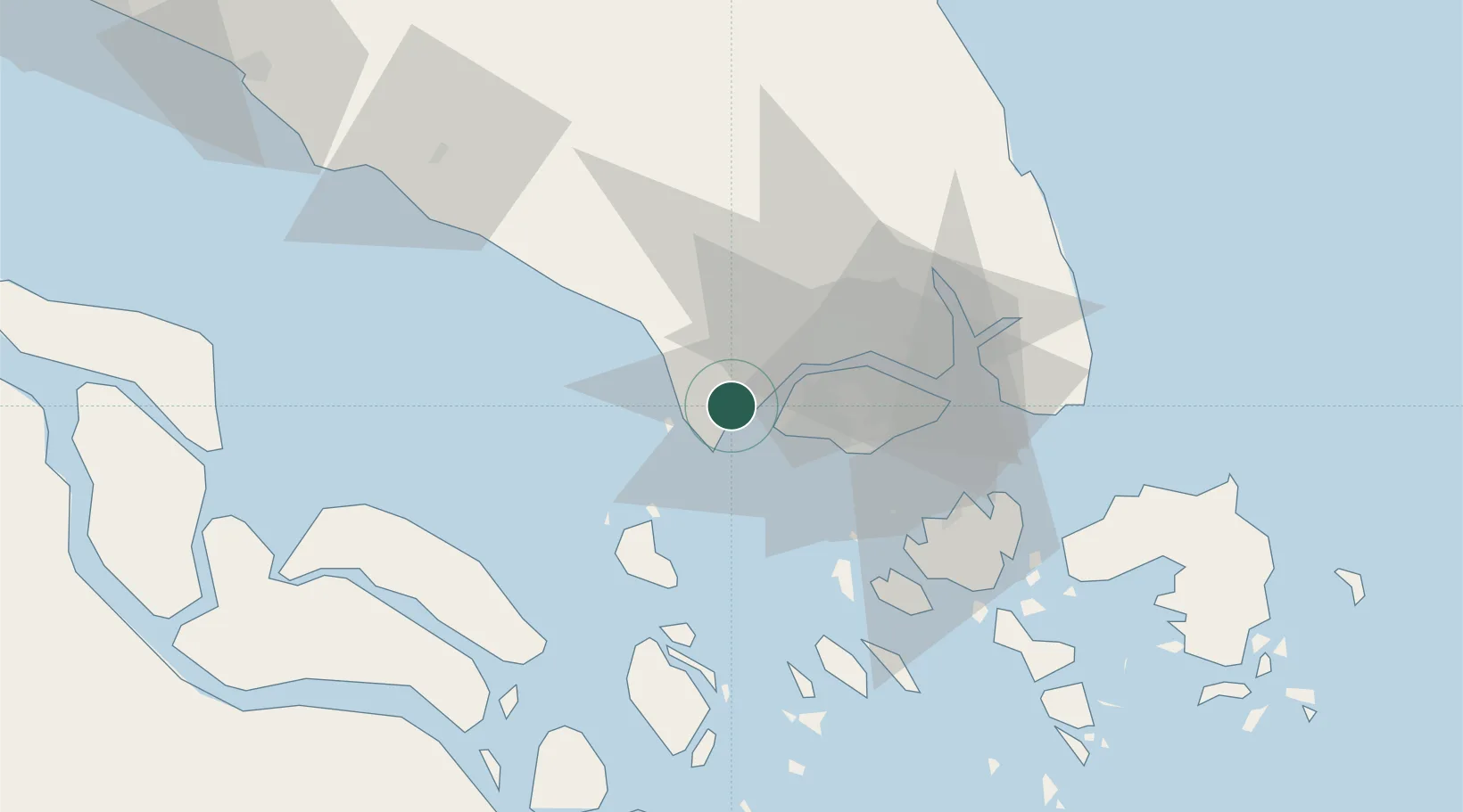
Tanjung Pelepas
1.3647°, 103.5539°
3
Transport functions
1
Container terminals
Transport Functions
Port
Rail
Road
Hub Profile
Place type
Populated place
Region
Johor
Time zone
Asia/Kuala_Lumpur
Elevation
4 m
Logistics facilities
6
Container terminals
1
Location
Nearby Logistics Neighbours
Cities
- 1Gelang Patah1 km
- 2Tanjong Bin4 km
- 3Kampong Tanjong Kupang4 km
- 4Tuas12 km
- 5Singapore18 km
Ports
- 1Jurong Island22 km
- 2Pulau Bukom28 km
- 3Pulau Sebarok33 km
- 4Keppel - (East Singapore)34 km
- 5Johor39 km
Airports
- 1Tengah Air Base17 km
- 2Sembawang Air Base30 km
- 3Senai International Airport33 km
- 4Seletar Airport35 km
- 5Paya Lebar Air Base40 km
DatabookThe Record of Consolidated Knowledge
Malaysia beyond logistics?