Transport Functions
Rail
Road
Multimodal
Fixed Transport
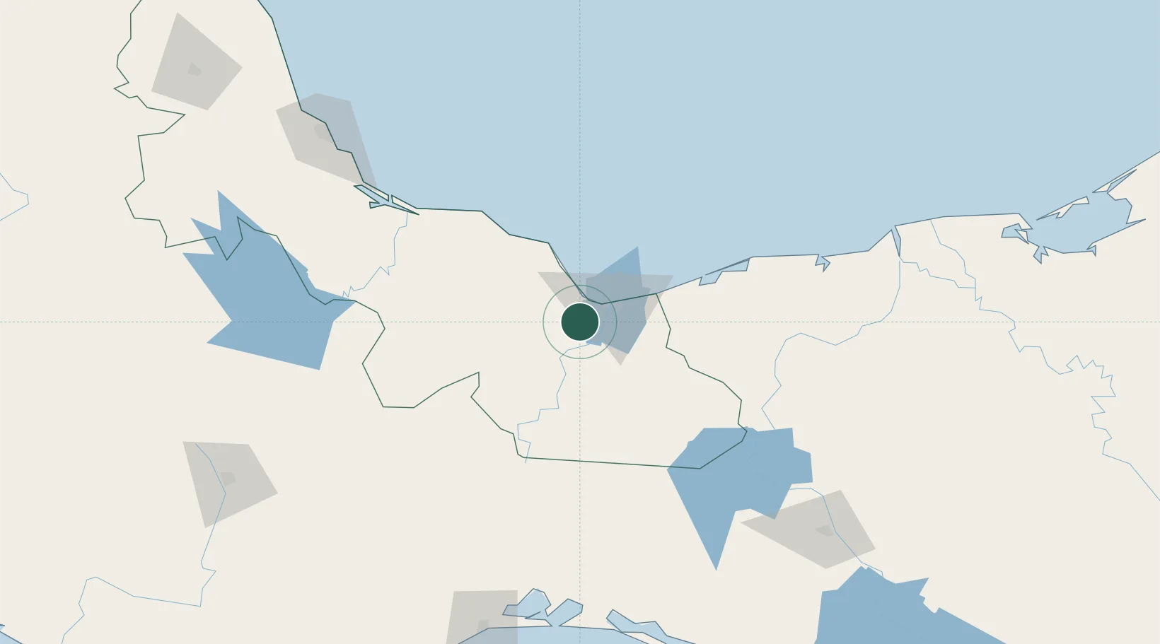
Hub Profile
Place type
Provincial seat
Region
Veracruz
Population
22,454
Time zone
America/Mexico_City
Elevation
53 m
Logistics facilities
1
Location
Nearby Logistics Neighbours
Cities
- 1Ixhuatlan del Sureste23 km
- 2Coatzacoalcos24 km
- 3Pajaritos24 km
- 4Rabon Grande/Coatzacoalcos29 km
- 5Jose Azueta136 km
Ports
- 1Minatitlan15 km
- 2Nanchital19 km
- 3Coatzacoalcos23 km
- 4Dos Bocas Terminal152 km
- 5Veracruz207 km
Airports
Trade Zones
DatabookThe Record of Consolidated Knowledge
Mexico beyond logistics?