Large airport · Myanmar (Burma)

Yangon International AirportVYYY
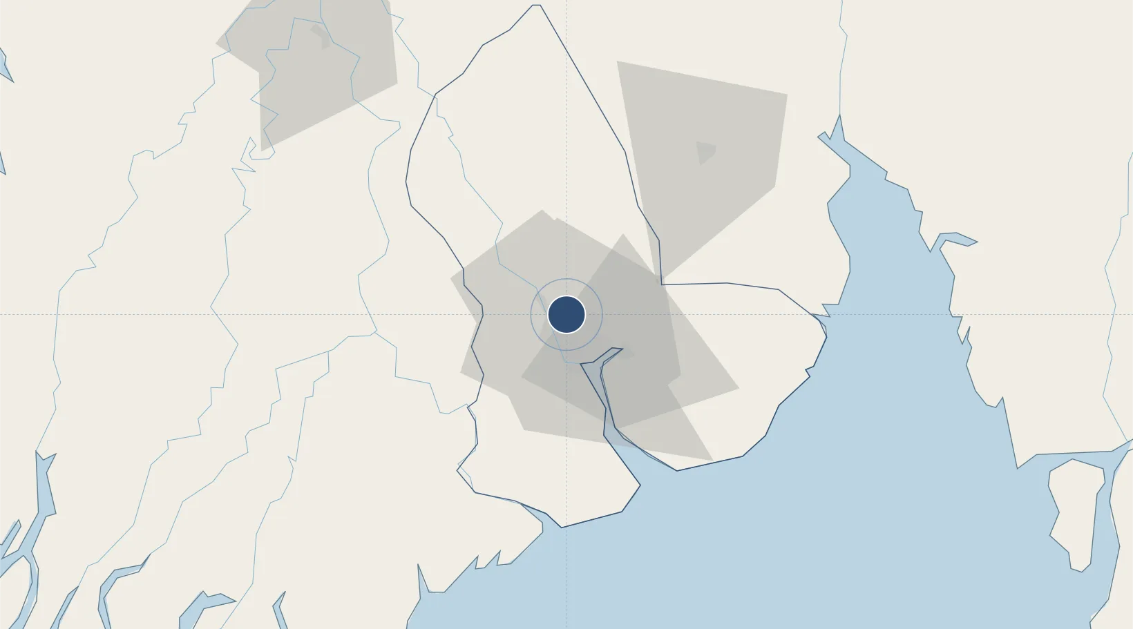
16.9073°, 96.1332°
11,200 ft
Longest runway
1
Runways
109 ft
Elevation

Runway & Layout

Yangon International Airport runway & taxiway layout
Runway & taxiway layout — OpenStreetMap (ODbL) / OurAirports

Radio Frequencies

ATIS
128.4 MHz
TWR
118.1 MHz
MINGALADON TWR
GND
121.9 MHz
MINGALADON GND
APP
119.7 MHz
MINGALADON APP
OurAirports

Navaids

MDS NDB Mingaladon 397 kHz
YGN NDB Yangon 265 kHz
OurAirports

Runways · 1

RunwayDimensions SurfaceTrue headingLit
03/21 11,200 × 200ft Asphalt 033°
OurAirports

Airport Specifications

IATA code
RGN
OurAirports
ICAO code
VYYY
OurAirports
Airport class
Large airport
OurAirports
Scheduled service
Yes
OurAirports
Runway surface
Asphalt
OurAirports
Served city
Yangon
OurAirports

Location

Location of VYYY
Natural Earth 10m (public domain) · Yangon · VYYY · 16.91, 96.13GoogleOSMYandex

Nearby Logistics Neighbours

Airports
  1. 1Pathein Airport144 km
  2. 2Mawlamyine Airport171 km
  3. 3Mae Sot Airport258 km
  4. 4Thandwe Airport260 km
  5. 5Nay Pyi Taw International Airport302 km
Nearest neighbours — logibook spatial index (haversine) over the source coordinates
Cities
  1. 1Yangon13 km
  2. 2Pazundaung14 km
  3. 3Thilawa31 km
  4. 4Kyaiklat53 km
  5. 5Mese251 km
Nearest neighbours — logibook spatial index (haversine) over the source coordinates
Ports
  1. 1Rangoon16 km
  2. 2Bassein150 km
  3. 3Sittwe495 km
  4. 4Mergui564 km
  5. 5Bangkok585 km
Nearest neighbours — logibook spatial index (haversine) over the source coordinates
Trade Zones
  1. 1Tak Special Economic Zone319 km
  2. 2Northern Region Industrial Estate (Lamphun)359 km
  3. 3Creative Kingdom (Thailand) Co., Ltd.374 km
  4. 4Kanchanaburi Special Economic Zone470 km
  5. 5Chiang Rai Special Economic Zone514 km
Nearest neighbours — logibook spatial index (haversine) over the source coordinates
DatabookThe Record of Consolidated Knowledge
Myanmar (Burma) beyond logistics?
Browse databook

All Sources

AirportsOurAirports
Public domain
Portsthe NGA World Port Index
Public domain (US gov)
LocationsUN/LOCODE
UN/LOCODE — free
Trade Zonesthe World Bank SEZ database
CC BY 4.0
Trade ZonesOpen Zone Map
CC BY
InfrastructureOpenStreetMap
ODbL 1.0
← Myanmar (Burma) airports