Seaport · India

Port BlairINIXZ

11.6778°, 92.7333°
3.4 m
Channel depth
10.7
Port liner connectivity

Channel & Berth Profile

SEA LEVEL (CD)CHANNEL BEDChannel · 3.4 mCargo pier · 10.0 mAnchorage · 13.0 m
NGA World Port Index

Pilotage, Tugs & Services

Pilotage compulsoryYES
Pilotage availableYES
Pilotage advisableYES
Tug assistanceYES
Potable waterYES
Diesel bunkersYES
MedicalYES
Garbage disposalYES
NGA World Port Index

Facilities & Capabilities

ContainerYES
Ro-RoYES
Liquid bulkYES
Dry bulkYES
Oil terminal
Break bulkYES
Dry dock
Repairs
BunkeringYES
Rail link
Dangerous cargo
ISPS security
NGA World Port Index

Harbour Specifications

Harbour size
Small
NGA World Port Index
Harbour type
Coastal (Natural)
NGA World Port Index
Shelter
Good
NGA World Port Index
Water body
Andaman Sea; Indian Ocean
NGA World Port Index
Tidal range
2.7 m
NGA World Port Index
Overhead limit
Yes
NGA World Port Index
Pilotage
Yes
NGA World Port Index

Liner Connectivity

10.7
PLSCI

Port Liner Shipping Connectivity Index for Port Blair, as published by UNCTAD for the latest available quarter. Higher values indicate stronger scheduled liner-shipping integration.

Shown relative to the highest per-port PLSCI in the dataset (1,657.9).
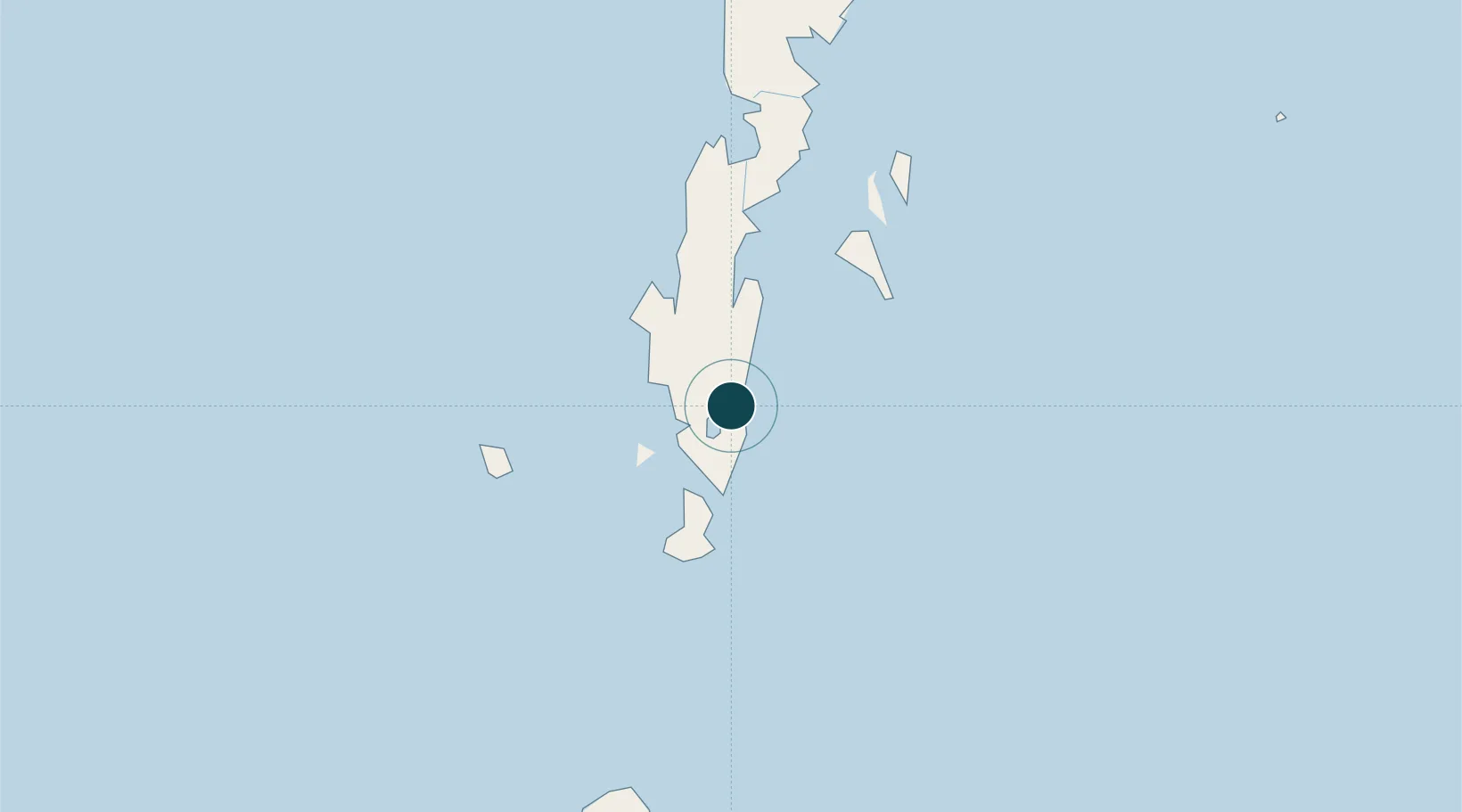
UNCTAD · Port Liner Shipping Connectivity Index

Location

Location of INIXZ
Natural Earth 10m (public domain) · Andaman and Nicobar · INIXZ · 11.68, 92.73GoogleOSMYandex

Nearby Logistics Neighbours

Ports
  1. 1Bassein607 km
  2. 2Mergui643 km
  3. 3Rangoon676 km
  4. 4Sabang704 km
  5. 5Uleelheue735 km
Nearest neighbours — logibook spatial index (haversine) over the source coordinates
Cities
  1. 1Armenia420 km
  2. 2Kyaiklat635 km
  3. 3Thilawa670 km
  4. 4Ranong672 km
  5. 5Pazundaung678 km
Nearest neighbours — logibook spatial index (haversine) over the source coordinates
Airports
  1. 1Veer Savarkar International Airport / INS Utkrosh4 km
  2. 2Car Nicobar Air Force Base281 km
  3. 3Campbell Bay Airport / INS Baaz535 km
  4. 4Pathein Airport612 km
  5. 5Myeik Airport646 km
Nearest neighbours — logibook spatial index (haversine) over the source coordinates
Trade Zones
  1. 1Lampulo Fisheries Industrial Estate735 km
  2. 2Thai Diamond City Industrial Estate773 km
  3. 3Kanchanaburi Special Economic Zone773 km
  4. 4Khao Yoi Industrial Park787 km
  5. 5Ratchaburi Industrial Estate, Rie795 km
Nearest neighbours — logibook spatial index (haversine) over the source coordinates
DatabookThe Record of Consolidated Knowledge
India beyond logistics?
Browse databook

All Sources

Portsthe NGA World Port Index
Public domain (US gov)
Logistics performanceUNCTAD
CC BY 3.0 IGO
AirportsOurAirports
Public domain
LocationsUN/LOCODE
UN/LOCODE — free
Trade Zonesthe World Bank SEZ database
CC BY 4.0
Trade ZonesOpen Zone Map
CC BY
← India ports