Seaport · Sri Lanka

Galle HarborLKGAL

6.0331°, 80.2283°
9.4 m
Channel depth

Channel & Berth Profile

SEA LEVEL (CD)CHANNEL BEDCargo pier · 8.9 mChannel · 9.4 mAnchorage · 23.2 m
NGA World Port Index

Pilotage, Tugs & Services

Pilotage compulsoryYES
Pilotage availableYES
Tug assistanceYES
Potable waterYES
MedicalYES
NGA World Port Index

Facilities & Capabilities

Container
Ro-Ro
Liquid bulk
Dry bulk
Oil terminal
Break bulk
Dry dock
RepairsNO
BunkeringYES
Rail linkYES
Dangerous cargo
ISPS security
NGA World Port Index

Harbour Specifications

Harbour size
Small
NGA World Port Index
Harbour type
Coastal (Breakwater)
NGA World Port Index
Shelter
Good
NGA World Port Index
Water body
Indian Ocean
NGA World Port Index
Tidal range
1 m
NGA World Port Index
Pilotage
Yes
NGA World Port Index

Location

Location of LKGAL
Natural Earth 10m (public domain) · Gālla · LKGAL · 6.03, 80.23GoogleOSMYandex

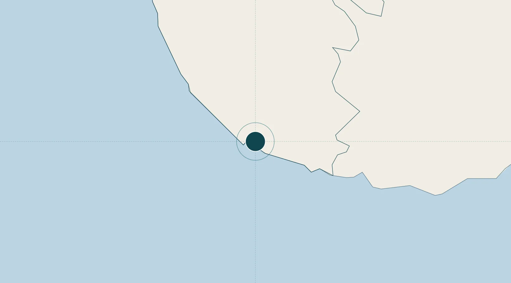
Nearby Logistics Neighbours

Ports
  1. 1Hambantota101 km
  2. 2Colombo110 km
  3. 3Trincomalee Harbor300 km
  4. 4Tuticorin383 km
  5. 5Kankesanturai421 km
Nearest neighbours — logibook spatial index (haversine) over the source coordinates
Cities
  1. 1Koggala13 km
  2. 2Ibbawala19 km
  3. 3Bataduwa25 km
  4. 4Kamburupitiya38 km
  5. 5Mawella56 km
Nearest neighbours — logibook spatial index (haversine) over the source coordinates
Airports
  1. 1Koggala Airport11 km
  2. 2Bentota River Waterdrome51 km
  3. 3Colombo Ratmalana International Airport96 km
  4. 4Hambantota Seaplane Base97 km
  5. 5Mattala Rajapaksa International Airport103 km
Nearest neighbours — logibook spatial index (haversine) over the source coordinates
Trade Zones
  1. 1Koggola Export Processing Zone12 km
  2. 2Horana Export Processing Zone79 km
  3. 3Kaluthara - Horana Industrial Estate79 km
  4. 4Horana Export Processing Zone80 km
  5. 5Colombo - Panaluwa Industrial Estate94 km
Nearest neighbours — logibook spatial index (haversine) over the source coordinates
DatabookThe Record of Consolidated Knowledge
Sri Lanka beyond logistics?
Browse databook

All Sources

Portsthe NGA World Port Index
Public domain (US gov)
AirportsOurAirports
Public domain
LocationsUN/LOCODE
UN/LOCODE — free
Trade Zonesthe World Bank SEZ database
CC BY 4.0
Trade ZonesOpen Zone Map
CC BY
← Sri Lanka ports