Transport Functions
Port
Rail
Road
Airport
Hub Profile
Place type
Populated place
Region
Southern Province
Population
3,000
Time zone
Asia/Colombo
Elevation
3 m
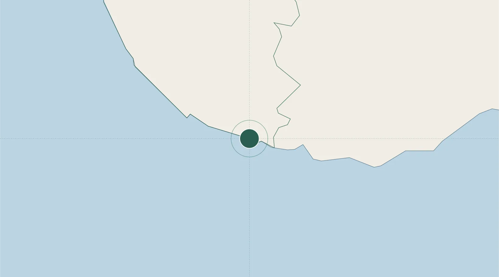
Location
Nearby Logistics Neighbours
Cities
- 1Ibbawala8 km
- 2Kamburupitiya28 km
- 3Bataduwa37 km
- 4Mawella44 km
- 5Katuwawala50 km
Ports
- 1Galle Harbor13 km
- 2Hambantota90 km
- 3Colombo120 km
- 4Trincomalee Harbor302 km
- 5Tuticorin394 km
Airports
DatabookThe Record of Consolidated Knowledge
Sri Lanka beyond logistics?