Large airport · Sri Lanka

Colombo Ratmalana International AirportVCCC
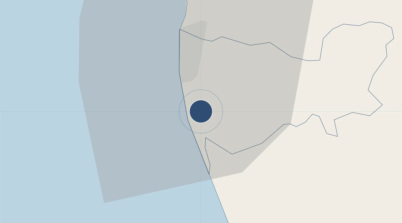
6.8216°, 79.8859°
6,013 ft
Longest runway
1
Runways
22 ft
Elevation

Runway & Layout

Colombo Ratmalana International Airport runway & taxiway layout
Runway & taxiway layout — OpenStreetMap (ODbL) / OurAirports

Radio Frequencies

TWR
118.4 MHz
RATMALANA TWR
APP
119.1 MHz
CAC
887.9 MHz
APP
RDO
124.9 MHz
OurAirports

Navaids

RM NDB Colombo/Ratmalana 350 kHz
OurAirports

Runways · 1

RunwayDimensions SurfaceTrue headingLit
04/22 6,013 × 100ft Asphalt 033°
OurAirports

Airport Specifications

IATA code
RML
OurAirports
ICAO code
VCCC
OurAirports
Airport class
Large airport
OurAirports
Scheduled service
Yes
OurAirports
Runway surface
Asphalt
OurAirports
Served city
Colombo
OurAirports

Location

Location of VCCC
Natural Earth 10m (public domain) · Kŏḷamba · VCCC · 6.82, 79.89GoogleOSMYandex

Nearby Logistics Neighbours

Airports
  1. 1Diyawanna Oya Seaplane Base10 km
  2. 2Bandaranaike International Colombo Airport40 km
  3. 3Bentota River Waterdrome45 km
  4. 4Polgolla Reservoir Seaplane Base101 km
  5. 5Koggala Airport104 km
Nearest neighbours — logibook spatial index (haversine) over the source coordinates
Cities
  1. 1Attidiya1 km
  2. 2Ratmalana2 km
  3. 3Rawatawatta4 km
  4. 4Gorakana6 km
  5. 5Pita Kotte7 km
Nearest neighbours — logibook spatial index (haversine) over the source coordinates
Ports
  1. 1Colombo15 km
  2. 2Galle Harbor96 km
  3. 3Hambantota159 km
  4. 4Trincomalee Harbor242 km
  5. 5Tuticorin290 km
Nearest neighbours — logibook spatial index (haversine) over the source coordinates
Trade Zones
  1. 1Orion City IT Park13 km
  2. 2Colombo Port City14 km
  3. 3Lk Rubber Industrial City Hub18 km
  4. 4Biyagama Export Processing Zone20 km
  5. 5Colombo - Panaluwa Industrial Estate21 km
Nearest neighbours — logibook spatial index (haversine) over the source coordinates
DatabookThe Record of Consolidated Knowledge
Sri Lanka beyond logistics?
Browse databook

All Sources

AirportsOurAirports
Public domain
Portsthe NGA World Port Index
Public domain (US gov)
LocationsUN/LOCODE
UN/LOCODE — free
Trade Zonesthe World Bank SEZ database
CC BY 4.0
Trade ZonesOpen Zone Map
CC BY
InfrastructureOpenStreetMap
ODbL 1.0
← Sri Lanka airports