Seaport · Sri Lanka
ColomboLKCMB
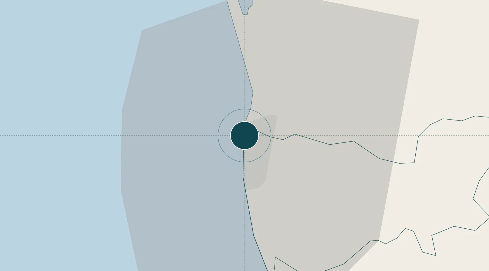
6.9500°, 79.8500°
16.0 m
Channel depth
6
Container terminals
720.1
Port liner connectivity
Channel & Berth Profile
Pilotage, Tugs & Services
Pilotage compulsoryYES
Pilotage availableYES
Pilotage advisableYES
Tug assistanceYES
Potable waterYES
Diesel bunkersYES
MedicalYES
Facilities & Capabilities
ContainerYES
Ro-RoYES
Liquid bulkYES
Dry bulkYES
Oil terminal—
Break bulkYES
Dry dockNO
RepairsNO
BunkeringYES
Rail linkYES
Dangerous cargo—
ISPS security—
Harbour Specifications
Harbour size
Medium
Harbour type
Coastal (Breakwater)
Shelter
Fair
Water body
Laccadive Sea; Indian Ocean
Tidal range
0.7 m
Overhead limit
No
Pilotage
Yes
Liner Connectivity
720.1
PLSCI
Port Liner Shipping Connectivity Index for Colombo, as published by UNCTAD for the latest available quarter. Higher values indicate stronger scheduled liner-shipping integration.
Shown relative to the highest per-port PLSCI in the dataset (1,657.9).
Location
Container Terminals · 6
COLOMBO EAST CONTAINER TERMINAL (CECT)
CECT SRI LANKA PORTS AUTHORITY (SLPA)
COLOMBO INTL CONTAINER TERMINAL (CICT)
CICT COLOMBO INTERNATIONAL CONTAINER TERMINALS LTD.
COLOMBO WEST INTL CONTAINER TERMINAL (CWIT)
CWIT COLOMBO WEST INTERNATIONAL CONTAINER TERMINAL PVT., LTD.
JAYA CONTAINER TERMINAL
LKJCT
UNITY CONTAINER TERMINAL
LKUCT
SOUTH ASIA GATEWAY TERMINALS (SAGT)
SAGT SOUTH ASIA GATEWAY TERMINALS PVT. LTD.
Nearby Logistics Neighbours
Ports
- 1Galle Harbor110 km
- 2Hambantota169 km
- 3Trincomalee Harbor233 km
- 4Tuticorin277 km
- 5Kankesanturai320 km
Cities
- 1Orugodawatte3 km
- 2Kelaniya4 km
- 3Hendala4 km
- 4Wattala5 km
- 5Enderamulla8 km
Airports
Trade Zones
DatabookThe Record of Consolidated Knowledge
Sri Lanka beyond logistics?