Transport Functions
Multimodal
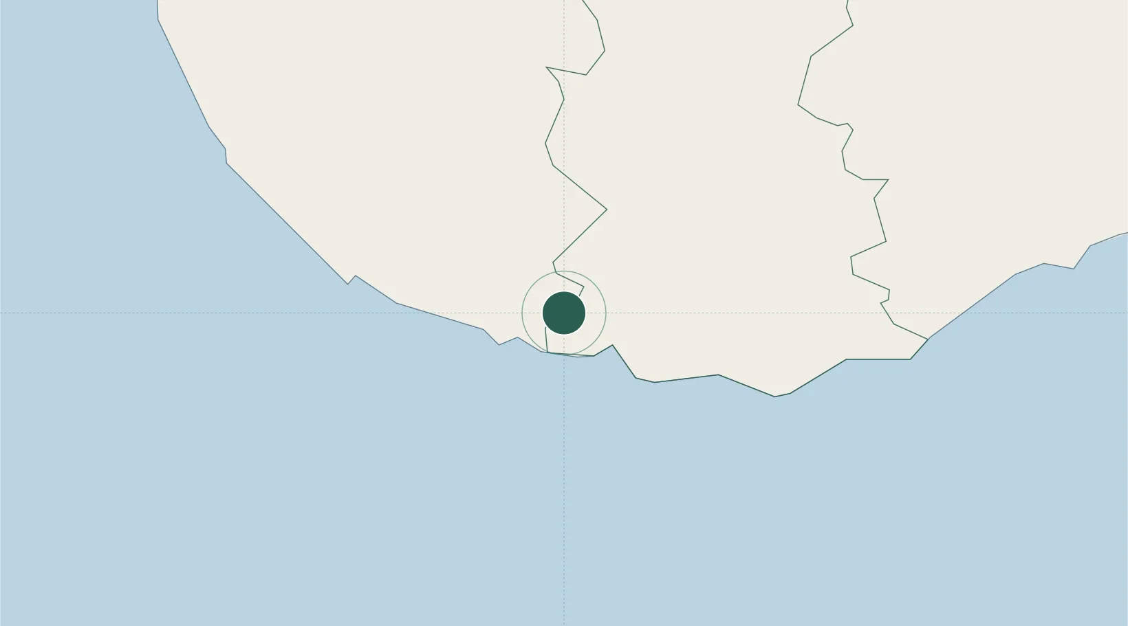
Hub Profile
Place type
Populated place
Region
Southern Province
Time zone
Asia/Colombo
Elevation
23 m
Location
Nearby Logistics Neighbours
Cities
- 1Koggala8 km
- 2Kamburupitiya21 km
- 3Mawella37 km
- 4Bataduwa41 km
- 5Katuwawala43 km
Ports
- 1Galle Harbor19 km
- 2Hambantota82 km
- 3Colombo122 km
- 4Trincomalee Harbor298 km
- 5Tuticorin397 km
Airports
DatabookThe Record of Consolidated Knowledge
Sri Lanka beyond logistics?