Transport Functions
Multimodal
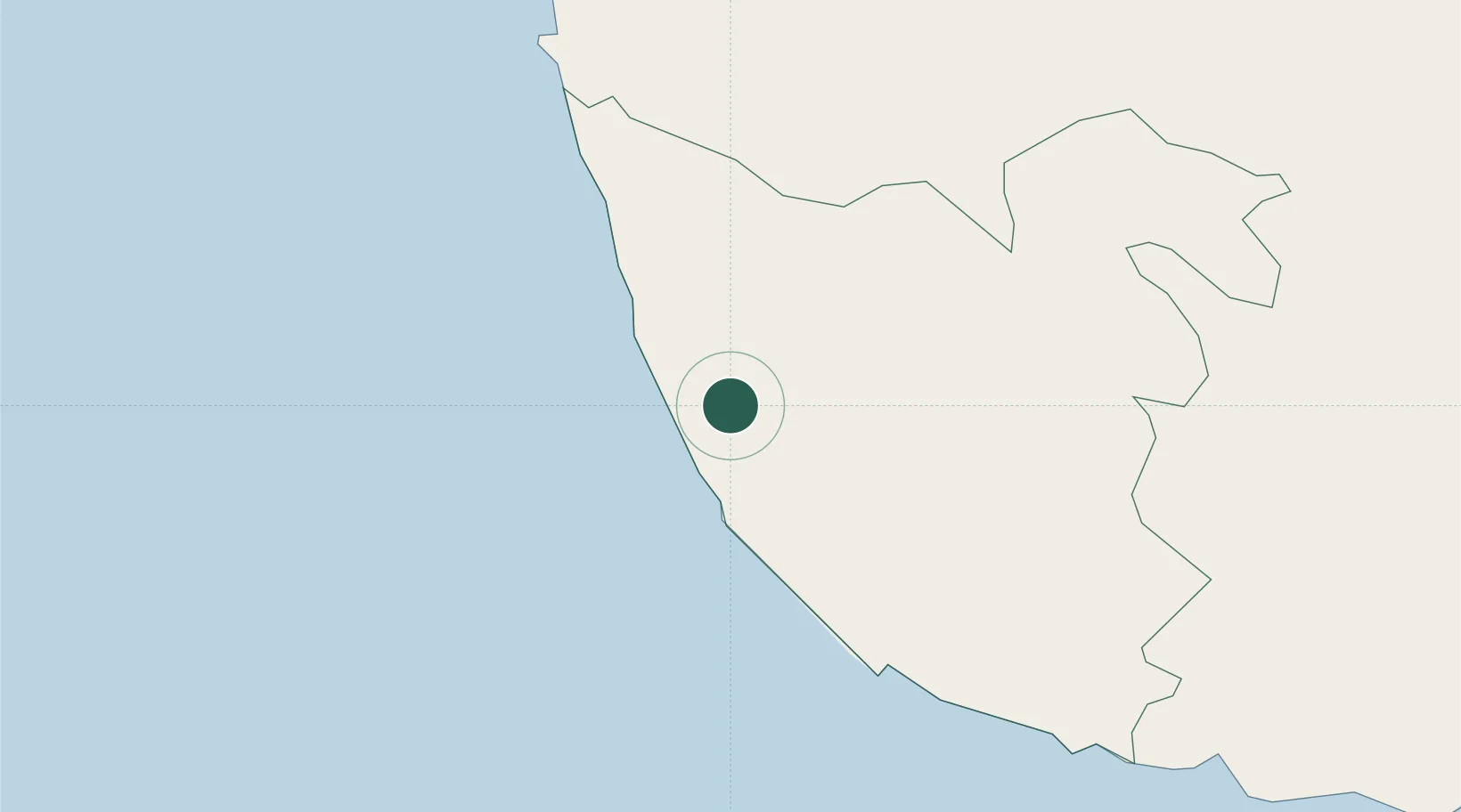
Hub Profile
Place type
Populated place
Region
Southern Province
Time zone
Asia/Colombo
Elevation
11 m
Location
Nearby Logistics Neighbours
Cities
- 1Koggala37 km
- 2Ibbawala41 km
- 3Neboda43 km
- 4Wadduwa52 km
- 5Kamburupitiya54 km
Ports
- 1Galle Harbor25 km
- 2Colombo86 km
- 3Hambantota115 km
- 4Trincomalee Harbor287 km
- 5Tuticorin358 km
Airports
Trade Zones
DatabookThe Record of Consolidated Knowledge
Sri Lanka beyond logistics?