Medium airport · Sri Lanka
Koggala AirportVCCK
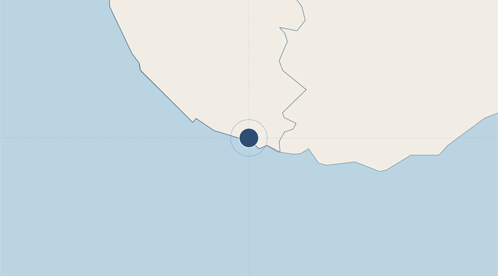
5.9937°, 80.3203°
3,142 ft
Longest runway
1
Runways
10 ft
Elevation
Runway & Layout

Radio Frequencies
TWR
118.1 MHz
Navaids
KG NDB Koggala 395 kHz
Runways · 1
| Runway | Dimensions | Surface | True heading | Lit |
|---|---|---|---|---|
| 07/25 | 3,142 × 140ft | Asphalt | 070° | — |
Airport Specifications
IATA code
KCT
ICAO code
VCCK
Airport class
Medium airport
Scheduled service
Yes
Runway surface
Asphalt
Served city
Galle
Location
Nearby Logistics Neighbours
Airports
Cities
- 1Koggala2 km
- 2Ibbawala9 km
- 3Kamburupitiya29 km
- 4Bataduwa35 km
- 5Mawella46 km
Ports
- 1Galle Harbor11 km
- 2Hambantota91 km
- 3Colombo118 km
- 4Trincomalee Harbor301 km
- 5Tuticorin392 km
Trade Zones
DatabookThe Record of Consolidated Knowledge
Sri Lanka beyond logistics?