Diversified Zone · Sri Lanka

Kaluthara - Horana Industrial Estate Active
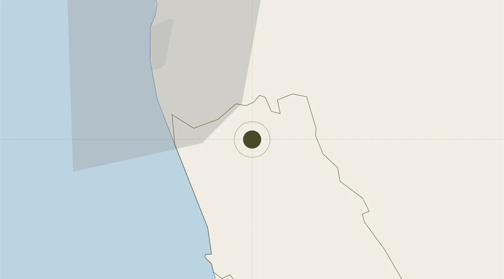
6.7230°, 80.0643°
9 ha
Zone area
34.6 km
Nearest port
22.5 km
Nearest airport

Gateway access

Nearest neighbours — logibook spatial index (haversine) over the source coordinates

Zone profile

Zone type
Diversified Zone
Open Zone Map
Region
Kaḷutara
Open Zone Map
Status
Active
Open Zone Map
Management
Public
Open Zone Map
Operator
Industrial Development Board of Sri Lanka
Open Zone Map
Legal framework
Industrial Development Act, No. 36 of 1969
Open Zone Map

Location

Location of ozm-4341
Natural Earth 10m (public domain) · Kaḷutara · ozm-4341 · 6.72, 80.06GoogleOSMYandex

Nearby Logistics Neighbours

Ports
  1. 1Colombo35 km
  2. 2Galle Harbor79 km
  3. 3Hambantota136 km
  4. 4Trincomalee Harbor240 km
  5. 5Tuticorin312 km
Nearest neighbours — logibook spatial index (haversine) over the source coordinates
Airports
  1. 1Colombo Ratmalana International Airport23 km
  2. 2Diyawanna Oya Seaplane Base27 km
  3. 3Bentota River Waterdrome33 km
  4. 4Bandaranaike International Colombo Airport55 km
  5. 5Koggala Airport86 km
Nearest neighbours — logibook spatial index (haversine) over the source coordinates
Cities
  1. 1Neboda14 km
  2. 2Kehelwatta17 km
  3. 3Hirana18 km
  4. 4Wadduwa18 km
  5. 5Gorakana19 km
Nearest neighbours — logibook spatial index (haversine) over the source coordinates
Trade Zones
  1. 1Horana Export Processing Zone8 km
  2. 2Horana Export Processing Zone12 km
  3. 3Colombo - Panaluwa Industrial Estate16 km
  4. 4Lk Rubber Industrial City Hub24 km
  5. 5Biyagama Export Processing Zone27 km
Nearest neighbours — logibook spatial index (haversine) over the source coordinates
DatabookThe Record of Consolidated Knowledge
Sri Lanka beyond logistics?
Browse databook

All Sources

Trade ZonesOpen Zone Map
CC BY
Portsthe NGA World Port Index
Public domain (US gov)
AirportsOurAirports
Public domain
LocationsUN/LOCODE
UN/LOCODE — free
← Sri Lanka trade zones