Transport Functions
Multimodal
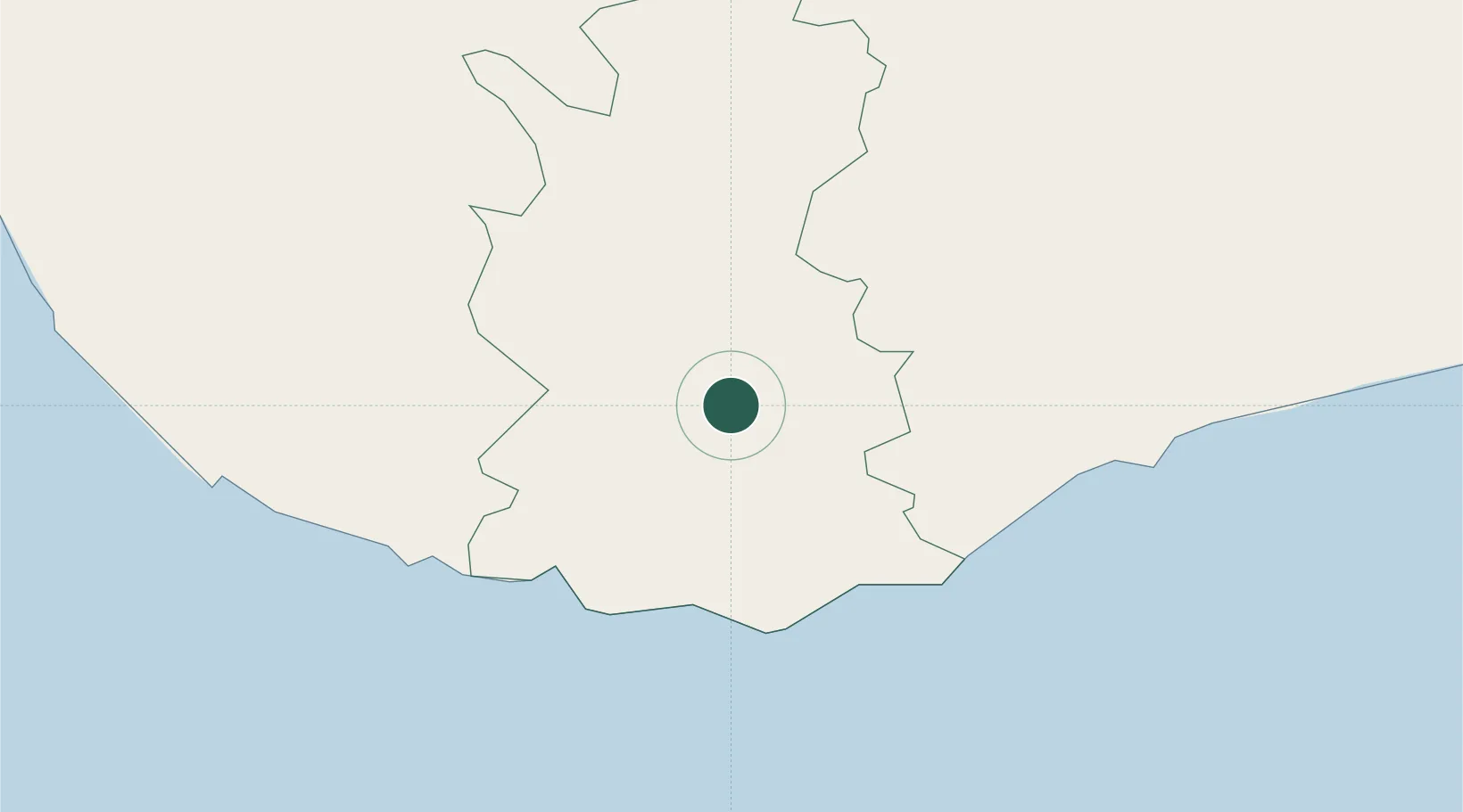
Hub Profile
Place type
Populated place
Region
Southern Province
Time zone
Asia/Colombo
Elevation
37 m
Location
Nearby Logistics Neighbours
Cities
- 1Ibbawala21 km
- 2Mawella22 km
- 3Katuwawala24 km
- 4Koggala28 km
- 5Bataduwa54 km
Ports
- 1Galle Harbor38 km
- 2Hambantota63 km
- 3Colombo125 km
- 4Trincomalee Harbor284 km
- 5Tuticorin402 km
Airports
DatabookThe Record of Consolidated Knowledge
Sri Lanka beyond logistics?