Transport Functions
Port
Road
Hub Profile
Place type
Populated place
Region
Southern Province
Time zone
Asia/Colombo
Elevation
14 m
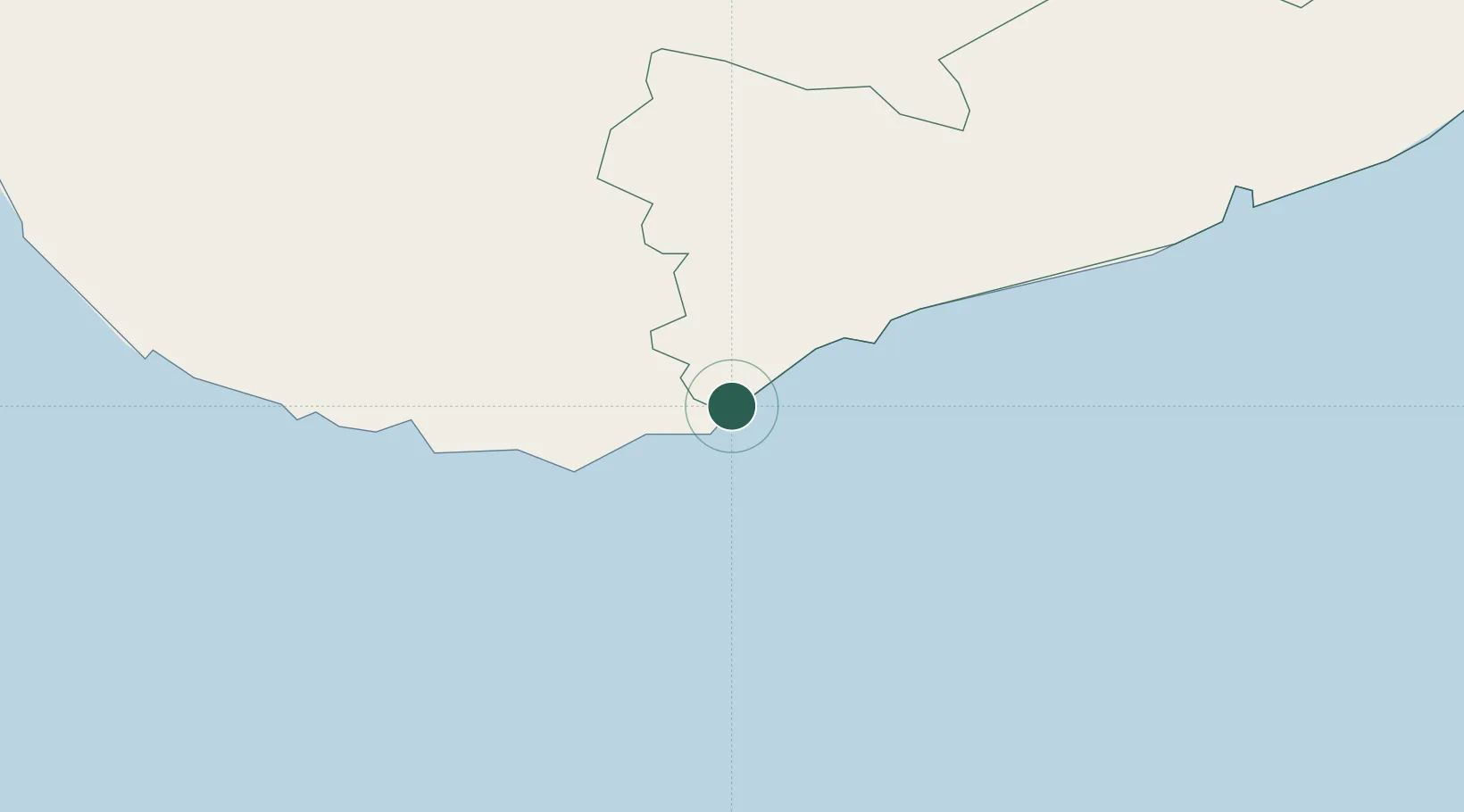
Location
Nearby Logistics Neighbours
Cities
- 1Kamburupitiya22 km
- 2Katuwawala32 km
- 3Ibbawala37 km
- 4Koggala44 km
- 5Hambantota45 km
Ports
- 1Hambantota47 km
- 2Galle Harbor56 km
- 3Colombo145 km
- 4Trincomalee Harbor290 km
- 5Tuticorin422 km
Airports
DatabookThe Record of Consolidated Knowledge
Sri Lanka beyond logistics?