Runway & Layout
Airport Specifications
IATA code
HBT
Airport class
Seaplane base
Scheduled service
Yes
Served city
Hambantota
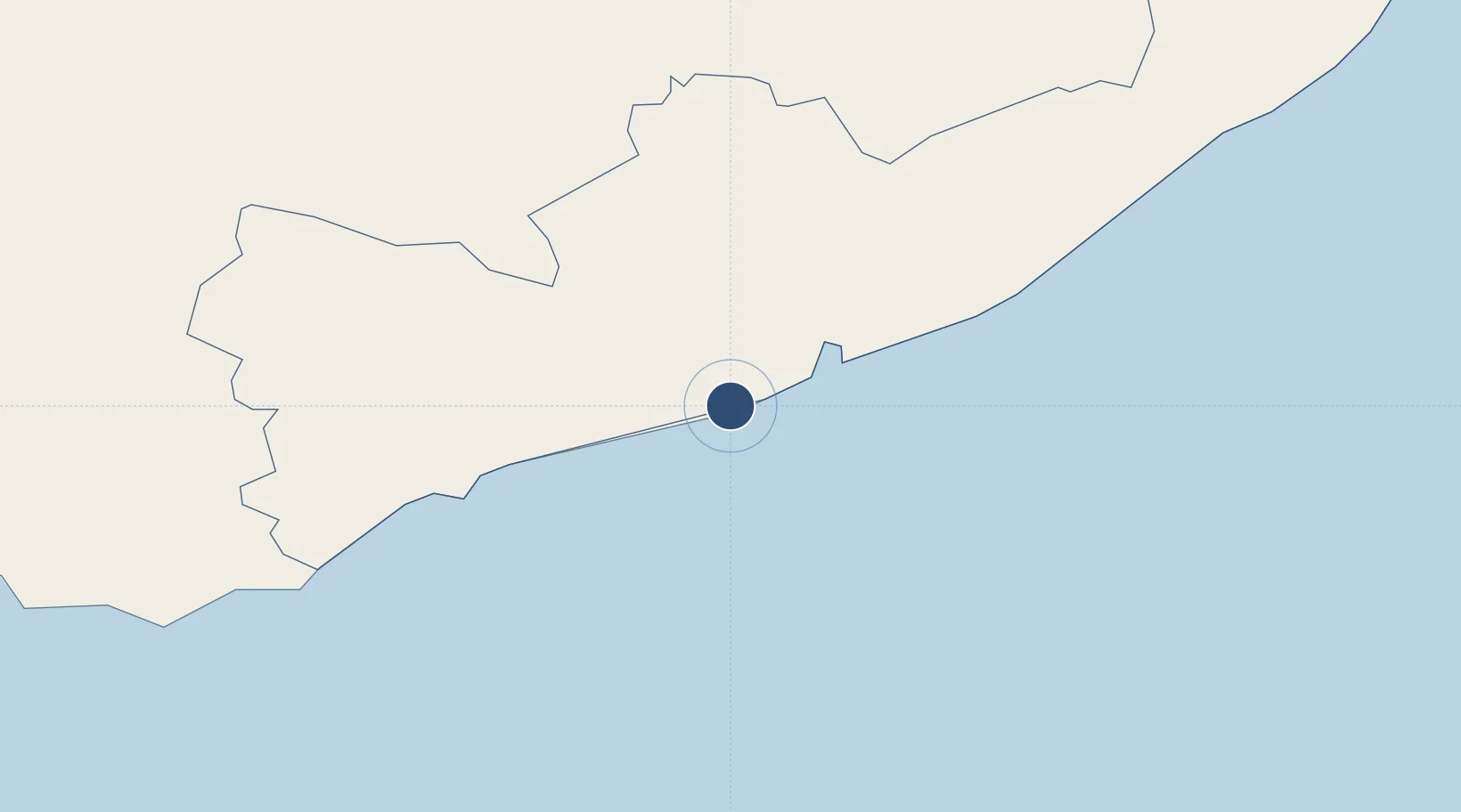
Location
Nearby Logistics Neighbours
Airports
Cities
- 1Hambantota2 km
- 2Mawella44 km
- 3Katuwawala49 km
- 4Kamburupitiya60 km
- 5Ibbawala79 km
Ports
- 1Hambantota4 km
- 2Galle Harbor97 km
- 3Colombo166 km
- 4Trincomalee Harbor270 km
- 5Kankesanturai427 km
DatabookThe Record of Consolidated Knowledge
Sri Lanka beyond logistics?