Diversified Zone · Sri Lanka

Colombo - Panaluwa Industrial Estate Active
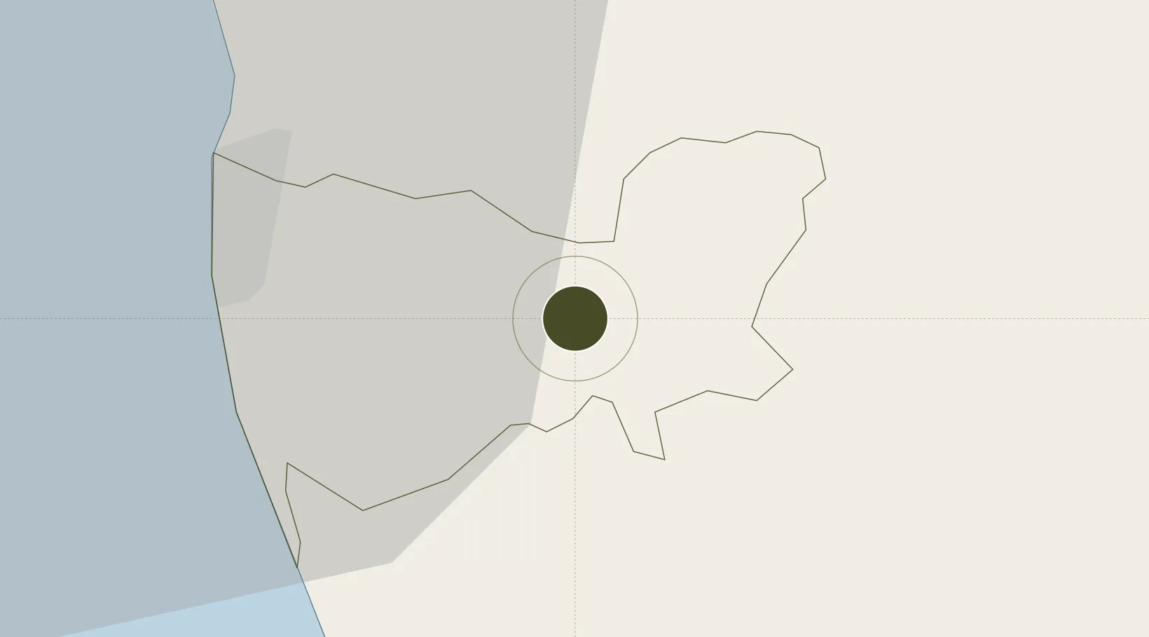
6.8639°, 80.0694°
5 ha
Zone area
26.0 km
Nearest port
18.3 km
Nearest airport

Gateway access

Nearest neighbours — logibook spatial index (haversine) over the source coordinates

Zone profile

Zone type
Diversified Zone
Open Zone Map
Region
Kŏḷamba
Open Zone Map
Status
Active
Open Zone Map
Management
Public
Open Zone Map
Operator
Industrial Development Board of Sri Lanka
Open Zone Map
Legal framework
Industrial Development Act, No. 36 of 1969
Open Zone Map

Location

Location of ozm-4338
Natural Earth 10m (public domain) · Kŏḷamba · ozm-4338 · 6.86, 80.07GoogleOSMYandex

Nearby Logistics Neighbours

Ports
  1. 1Colombo26 km
  2. 2Galle Harbor94 km
  3. 3Hambantota144 km
  4. 4Trincomalee Harbor226 km
  5. 5Tuticorin301 km
Nearest neighbours — logibook spatial index (haversine) over the source coordinates
Airports
  1. 1Diyawanna Oya Seaplane Base18 km
  2. 2Colombo Ratmalana International Airport21 km
  3. 3Bandaranaike International Colombo Airport41 km
  4. 4Bentota River Waterdrome49 km
  5. 5Polgolla Reservoir Seaplane Base81 km
Nearest neighbours — logibook spatial index (haversine) over the source coordinates
Cities
  1. 1Pannipitiya13 km
  2. 2Makola17 km
  3. 3Pita Kotte19 km
  4. 4Avissawella19 km
  5. 5Weliweriya20 km
Nearest neighbours — logibook spatial index (haversine) over the source coordinates
Trade Zones
  1. 1Lk Rubber Industrial City Hub10 km
  2. 2Biyagama Export Processing Zone12 km
  3. 3Kaluthara - Horana Industrial Estate16 km
  4. 4Horana Export Processing Zone16 km
  5. 5Horana Export Processing Zone17 km
Nearest neighbours — logibook spatial index (haversine) over the source coordinates
DatabookThe Record of Consolidated Knowledge
Sri Lanka beyond logistics?
Browse databook

All Sources

Trade ZonesOpen Zone Map
CC BY
Portsthe NGA World Port Index
Public domain (US gov)
AirportsOurAirports
Public domain
LocationsUN/LOCODE
UN/LOCODE — free
← Sri Lanka trade zones