Seaport · Sri Lanka

HambantotaLKHBA

6.1167°, 81.1333°
97.6
Port liner connectivity
Hambantota is also a UN/LOCODE logistics hub →

Channel & Berth Profile

SEA LEVEL (CD)CHANNEL BEDCargo pier · 17.0 mOil terminal · 17.0 mAnchorage · 27.0 m
NGA World Port Index

Pilotage, Tugs & Services

Pilotage compulsoryYES
Pilotage availableYES
NGA World Port Index

Facilities & Capabilities

ContainerYES
Ro-RoYES
Liquid bulkYES
Dry bulkYES
Oil terminal
Break bulkYES
Dry dock
Repairs
Bunkering
Rail link
Dangerous cargo
ISPS security
NGA World Port Index

Harbour Specifications

Harbour size
Medium
NGA World Port Index
Shelter
Fair
NGA World Port Index
Water body
Indian Ocean
NGA World Port Index
Pilotage
Yes
NGA World Port Index

Liner Connectivity

97.6
PLSCI

Port Liner Shipping Connectivity Index for Hambantota, as published by UNCTAD for the latest available quarter. Higher values indicate stronger scheduled liner-shipping integration.

Shown relative to the highest per-port PLSCI in the dataset (1,657.9).
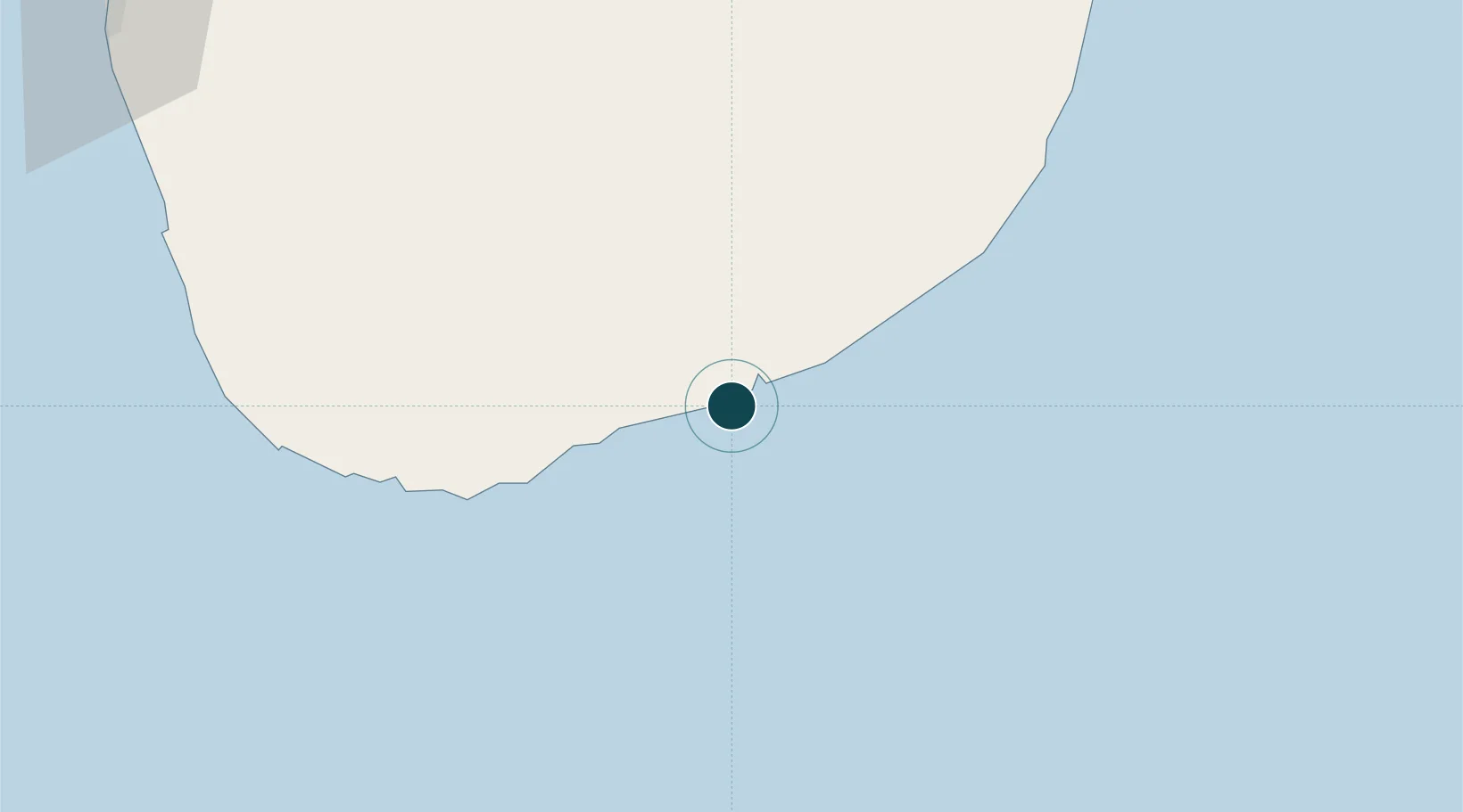
UNCTAD · Port Liner Shipping Connectivity Index

Location

Location of LKHBA
Natural Earth 10m (public domain) · Hambantŏṭa · LKHBA · 6.12, 81.13GoogleOSMYandex

Nearby Logistics Neighbours

Ports
  1. 1Galle Harbor101 km
  2. 2Colombo169 km
  3. 3Trincomalee Harbor271 km
  4. 4Kankesanturai428 km
  5. 5Tuticorin443 km
Nearest neighbours — logibook spatial index (haversine) over the source coordinates
Cities
  1. 1Mawella47 km
  2. 2Katuwawala53 km
  3. 3Kamburupitiya63 km
  4. 4Ibbawala82 km
  5. 5Koggala90 km
Nearest neighbours — logibook spatial index (haversine) over the source coordinates
Airports
  1. 1Hambantota Seaplane Base4 km
  2. 2Mattala Rajapaksa International Airport19 km
  3. 3Tissa Tank Waterdrome26 km
  4. 4Koggala Airport91 km
  5. 5Bentota River Waterdrome131 km
Nearest neighbours — logibook spatial index (haversine) over the source coordinates
Trade Zones
  1. 1Sri Lanka-China Logistics And Industrial Zone (Hambantota)4 km
  2. 2Mirijjawala Export Processing Zone6 km
  3. 3Koggola Export Processing Zone91 km
  4. 4Horana Export Processing Zone128 km
  5. 5Horana Export Processing Zone130 km
Nearest neighbours — logibook spatial index (haversine) over the source coordinates
DatabookThe Record of Consolidated Knowledge
Sri Lanka beyond logistics?
Browse databook

All Sources

Portsthe NGA World Port Index
Public domain (US gov)
Logistics performanceUNCTAD
CC BY 3.0 IGO
AirportsOurAirports
Public domain
LocationsUN/LOCODE
UN/LOCODE — free
Trade Zonesthe World Bank SEZ database
CC BY 4.0
Trade ZonesOpen Zone Map
CC BY
← Sri Lanka ports