Large airport · Sri Lanka

Mattala Rajapaksa International AirportVCRI
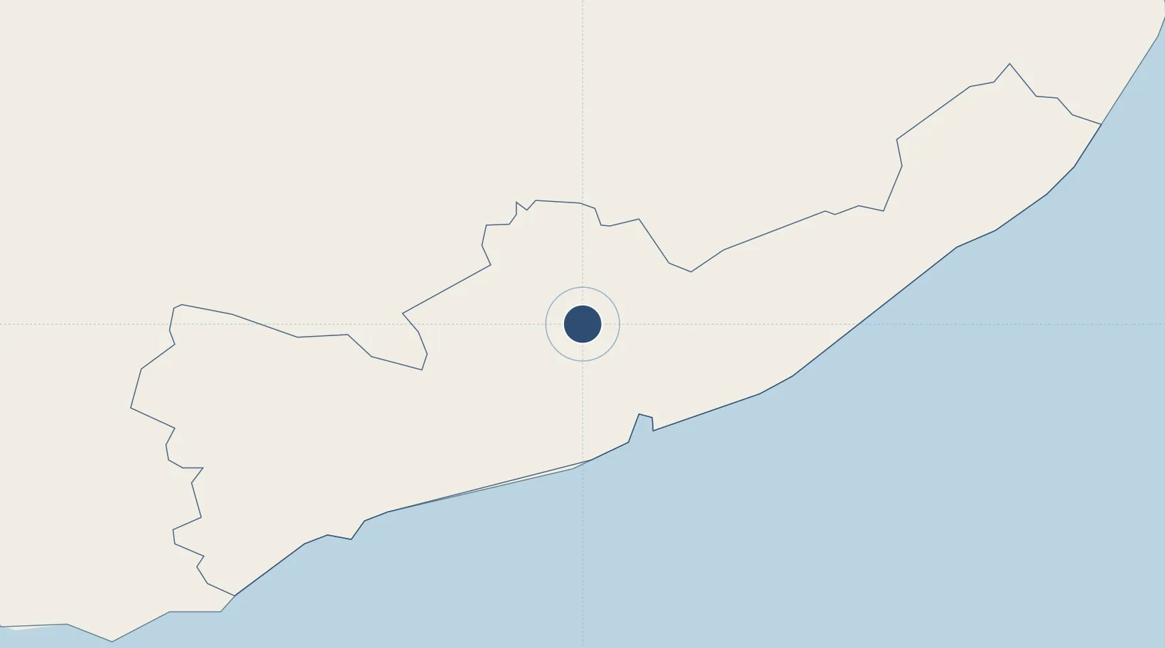
6.2839°, 81.1242°
11,483 ft
Longest runway
1
Runways
157 ft
Elevation

Runway & Layout

Mattala Rajapaksa International Airport runway & taxiway layout
Runway & taxiway layout — OpenStreetMap (ODbL) / OurAirports

Radio Frequencies

Tower
119.85 MHz
Ground
121.7 MHz
OurAirports

Runways · 1

RunwayDimensions SurfaceTrue headingLit
05/23 11,483 × 197ft Asphalt
OurAirports

Airport Specifications

IATA code
HRI
OurAirports
ICAO code
VCRI
OurAirports
Airport class
Large airport
OurAirports
Scheduled service
Yes
OurAirports
Runway surface
Asphalt
OurAirports
Served city
Mattala
OurAirports

Location

Location of VCRI
Natural Earth 10m (public domain) · Hambantŏṭa · VCRI · 6.28, 81.12GoogleOSMYandex

Nearby Logistics Neighbours

Airports
  1. 1Hambantota Seaplane Base18 km
  2. 2Tissa Tank Waterdrome18 km
  3. 3Koggala Airport95 km
  4. 4Bentota River Waterdrome126 km
  5. 5Polgolla Reservoir Seaplane Base127 km
Nearest neighbours — logibook spatial index (haversine) over the source coordinates
Cities
  1. 1Hambantota19 km
  2. 2Katuwawala49 km
  3. 3Mawella55 km
  4. 4Kamburupitiya66 km
  5. 5Ibbawala86 km
Nearest neighbours — logibook spatial index (haversine) over the source coordinates
Ports
  1. 1Hambantota19 km
  2. 2Galle Harbor103 km
  3. 3Colombo159 km
  4. 4Trincomalee Harbor252 km
  5. 5Kankesanturai410 km
Nearest neighbours — logibook spatial index (haversine) over the source coordinates
Trade Zones
  1. 1Sri Lanka-China Logistics And Industrial Zone (Hambantota)19 km
  2. 2Mirijjawala Export Processing Zone19 km
  3. 3Koggola Export Processing Zone94 km
  4. 4Horana Export Processing Zone118 km
  5. 5Kandy Export Processing Zone119 km
Nearest neighbours — logibook spatial index (haversine) over the source coordinates
DatabookThe Record of Consolidated Knowledge
Sri Lanka beyond logistics?
Browse databook

All Sources

AirportsOurAirports
Public domain
Portsthe NGA World Port Index
Public domain (US gov)
LocationsUN/LOCODE
UN/LOCODE — free
Trade Zonesthe World Bank SEZ database
CC BY 4.0
Trade ZonesOpen Zone Map
CC BY
InfrastructureOpenStreetMap
ODbL 1.0
← Sri Lanka airports