Runway & Layout

Airport Specifications
IATA code
BJT
Airport class
Seaplane base
Scheduled service
Yes
Served city
Bentota
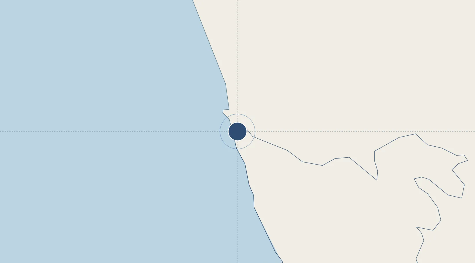
Location
Nearby Logistics Neighbours
Airports
Cities
- 1Neboda21 km
- 2Wadduwa26 km
- 3Bataduwa27 km
- 4Hirana35 km
- 5Kehelwatta37 km
Ports
- 1Galle Harbor51 km
- 2Colombo60 km
- 3Hambantota131 km
- 4Trincomalee Harbor271 km
- 5Tuticorin332 km
Trade Zones
DatabookThe Record of Consolidated Knowledge
Sri Lanka beyond logistics?