UN/LOCODE hub · South Korea
KRGJG

Gijang-gun/Busan

35.2500°, 129.2000°
2
Transport functions

Transport Functions

Rail
Road
UN/LOCODE

Hub Profile

Region
26
GeoNames

Location

Location of KRGJG
Natural Earth 10m (public domain) · 26 · KRGJG · 35.25, 129.20GoogleOSMYandex

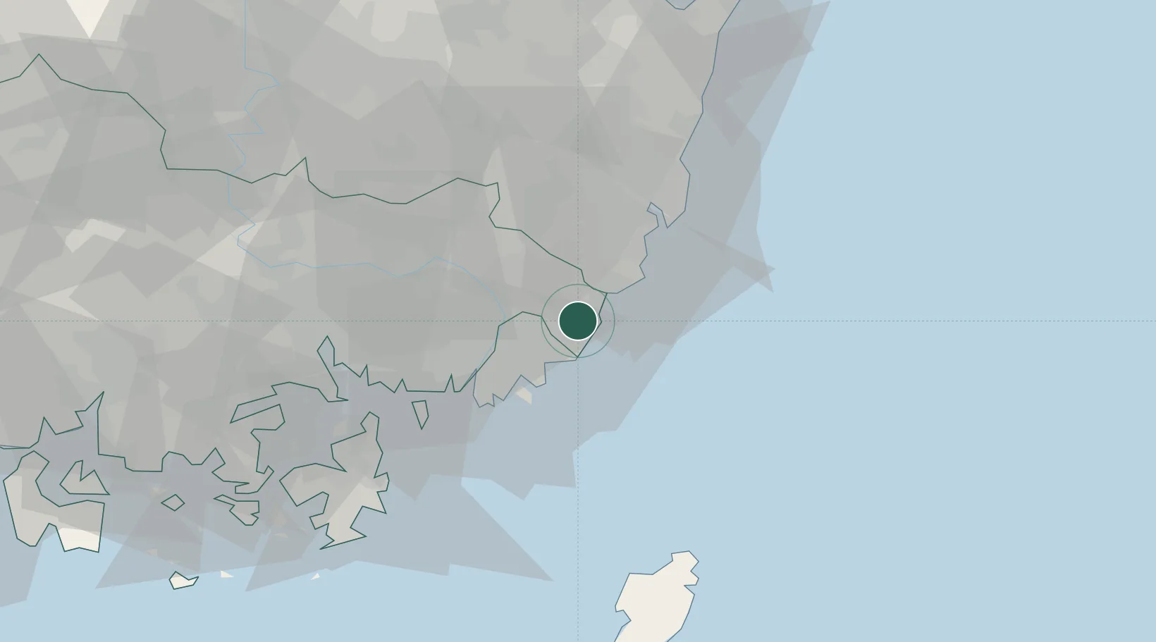
Nearby Logistics Neighbours

Cities
  1. 1Busanjin-Gu18 km
  2. 2Yangsan18 km
  3. 3South Busan19 km
  4. 4Onsan/Ulsan25 km
  5. 5Gamcheon/Busan26 km
Nearest neighbours — logibook spatial index (haversine) over the source coordinates
Ports
  1. 1Busan23 km
  2. 2Ulsan29 km
  3. 3Chinae52 km
  4. 4Masan58 km
  5. 5Pohang91 km
Nearest neighbours — logibook spatial index (haversine) over the source coordinates
Airports
  1. 1Gimhae International Airport25 km
  2. 2Ulsan Airport41 km
  3. 3Pohang Airport (G-815/K-3)84 km
  4. 4Daegu International Airport87 km
  5. 5Sacheon Airport / Sacheon Air Base104 km
Nearest neighbours — logibook spatial index (haversine) over the source coordinates
DatabookThe Record of Consolidated Knowledge
South Korea beyond logistics?
Browse databook

All Sources

LocationsUN/LOCODE
UN/LOCODE — free
Portsthe NGA World Port Index
Public domain (US gov)
AirportsOurAirports
Public domain
Trade Zonesthe World Bank SEZ database
CC BY 4.0
Trade ZonesOpen Zone Map
CC BY
← South Korea locations