UN/LOCODE hub · South Korea
KRUSN
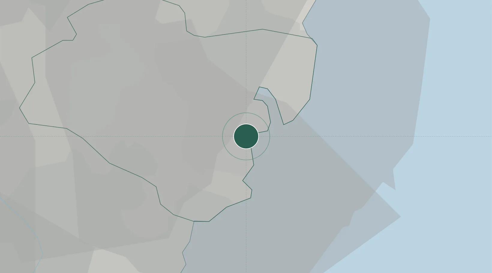
Ulsan
35.4532°, 129.3527°
1,095,014
Population
4
Transport functions
2
Container terminals
Transport Functions
Port
Rail
Road
Airport
Hub Profile
Place type
Regional capital
Region
Ulsan
Population
1,095,014
Time zone
Asia/Seoul
Elevation
10 m
Logistics facilities
5
Container terminals
2
Location
Nearby Logistics Neighbours
Cities
- 1Onsan/Ulsan2 km
- 2Mipo/Ulsan10 km
- 3Gijang-gun/Busan27 km
- 4Yangsan31 km
- 5Hapcheon-gun38 km
Airports
Trade Zones
DatabookThe Record of Consolidated Knowledge
South Korea beyond logistics?