Transport Functions
Port
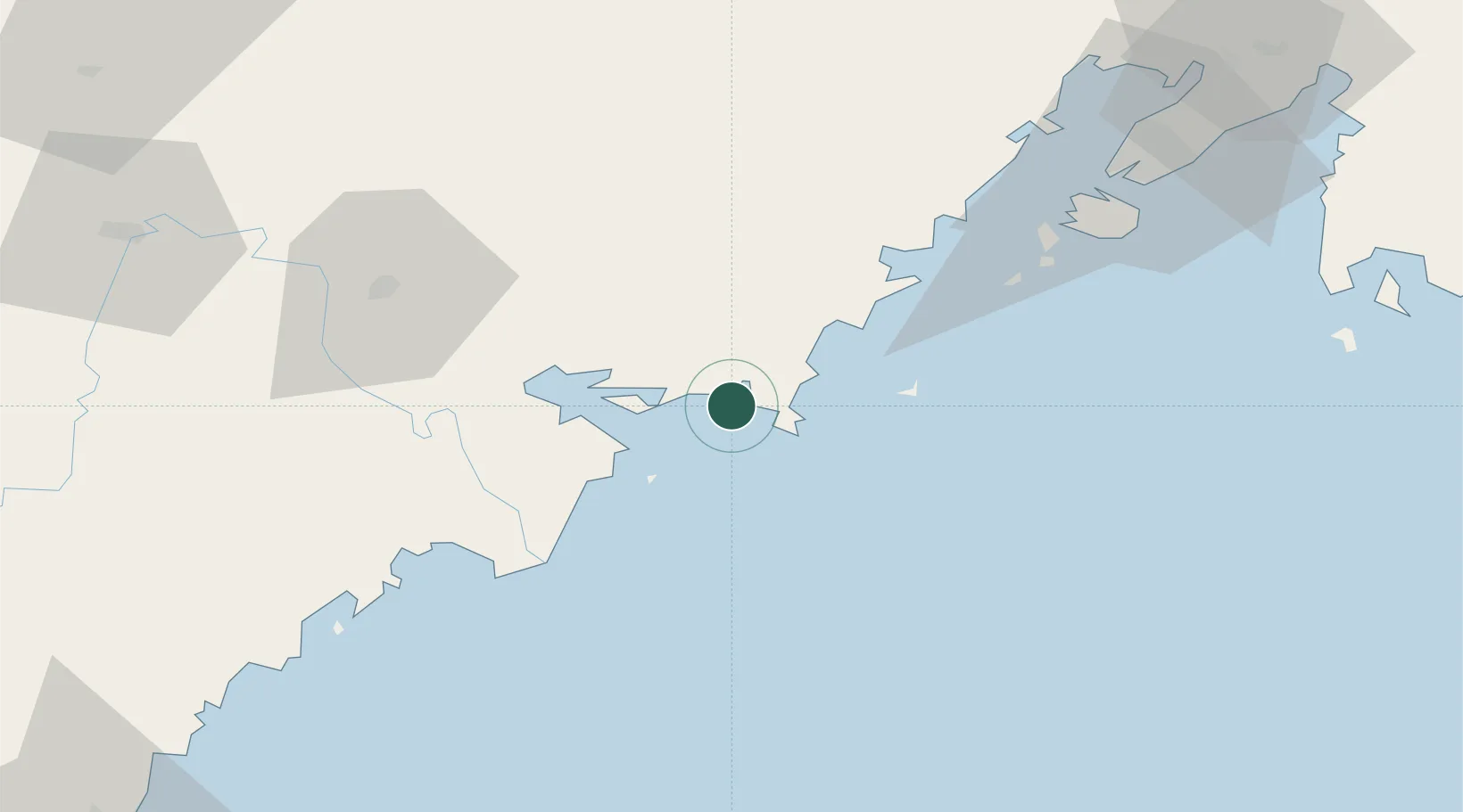
Hub Profile
Place type
Populated place
Region
Primorye
Population
2,479
Time zone
Asia/Vladivostok
Elevation
2 m
Location
Nearby Logistics Neighbours
Cities
- 1Vityaz7 km
- 2Hunchun65 km
- 3Rajin (Najin)79 km
- 4Vostokmorservice82 km
- 5Vladivostok86 km
Ports
- 1Pos'yet24 km
- 2Slavyanka37 km
- 3Najin77 km
- 4Vladivostok85 km
- 5Ch'ongjin141 km
Airports
- 1Vladivostok International Airport123 km
- 2Yanji Chaoyangchuan Airport137 km
- 3Vozdvizhenka Air Base159 km
- 4Orang (Chongjin) Airport178 km
- 5Chernigovka Air Base223 km
Trade Zones
DatabookThe Record of Consolidated Knowledge
Russia beyond logistics?