Export Processing Zone · North Korea
Rason Special Economic Zone Active
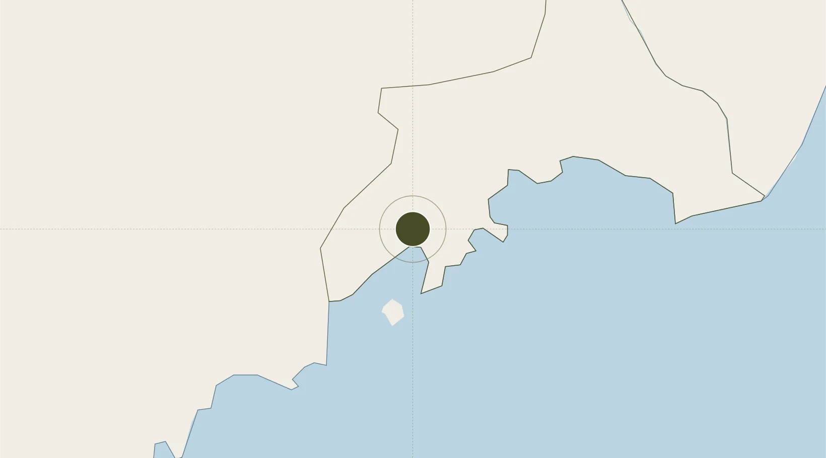
42.2569°, 130.2977°
74,600 ha
Zone area
2.6 km
Nearest port
98.2 km
Nearest airport
Gateway access
Zone profile
Zone type
Export Processing Zone
Region
Rasŏn
Status
Active
Management
Public
Operator
Ministry of External Economic Relations
Legal framework
Labour Regulations for Foreign-Funded Enterprises in FETZ (Adopted as decision NO.8 of the Administration Council of the DPRK dated on December 3, 1993) The Law of the Democratic People’s Republic of Korea on the Rason Economic and Trade Zone; North Korea
Location
Nearby Logistics Neighbours
Airports
- 1Yanji Chaoyangchuan Airport98 km
- 2Orang (Chongjin) Airport107 km
- 3Vladivostok International Airport197 km
- 4Changbaishan Airport223 km
- 5Vozdvizhenka Air Base226 km
Cities
- 1Rajin (Najin)5 km
- 2Hunchun68 km
- 3Zarubino76 km
- 4Yueqing80 km
- 5Vityaz81 km
DatabookThe Record of Consolidated Knowledge
North Korea beyond logistics?